Map of Ocala, Florida
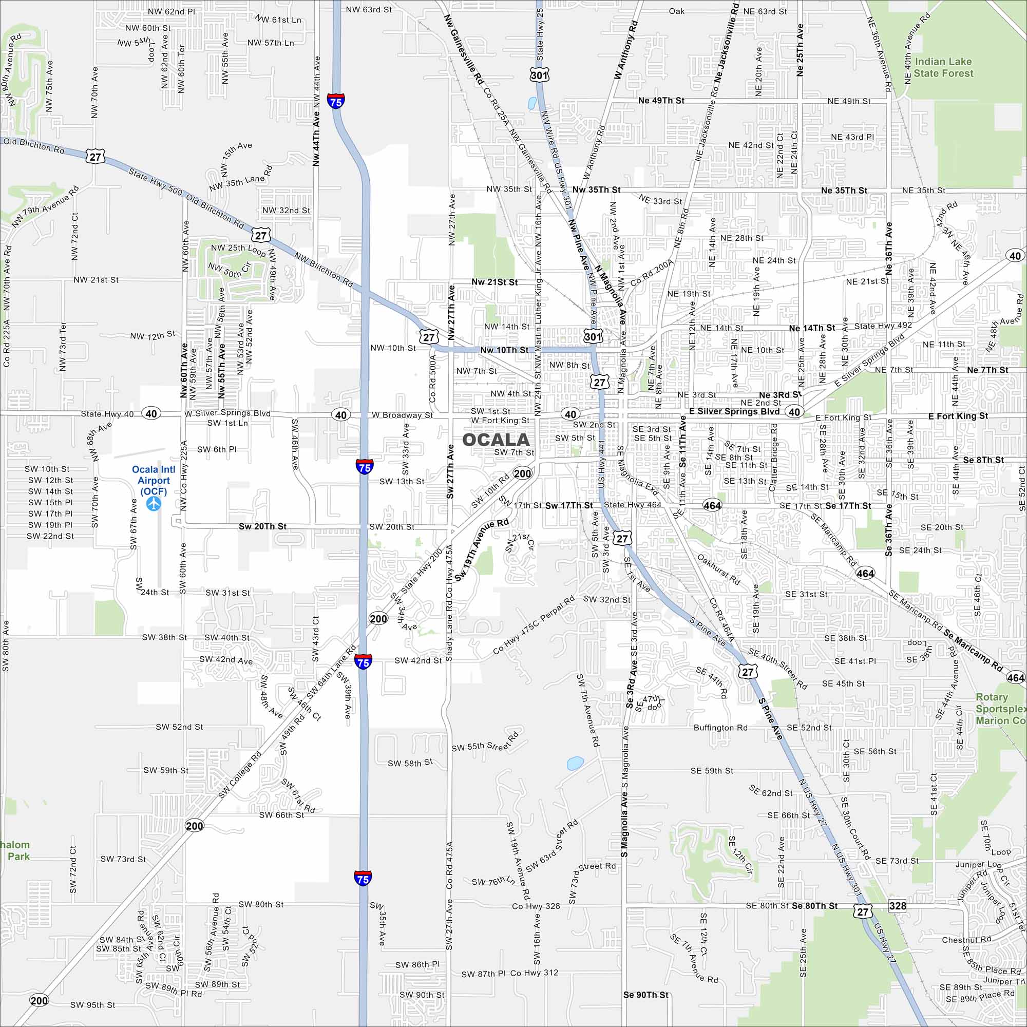
Take a look at our map of Ocala in north-central Florida. This map shows a spread of neighborhoods and a historic downtown square. The city is famous for its equestrian industry so you can often see horse farms throughout.
Florida State Maps
Discover Florida through our state maps


Map Information
On the Map
Interstates/Highways: I-75, US Hwy 27, US Hwy 301, US Hwy 441, State Hwy 40, State Hwy 200, State Hwy 464, State Hwy 492, State Hwy 326 Major Roads: Silver Springs Blvd, College Rd, Pine Ave, Magnolia Ave, Broadway St, 17th St, Fort King St, 35th St, 49th St, 14th St, 10th St, Blitchton Rd, Maricamp Rd, 80th St, 90th St, 25th Ave, 25th Loop, Anthony Rd, 60th Ave, 80th Ave Airports: Ocala Intl Airport (OCF) Parks and Preserves: Indian Lake State ForestFlorida City Maps
Chart your course through Miami and Florida’s cities


