Map of Ormond Beach, Florida
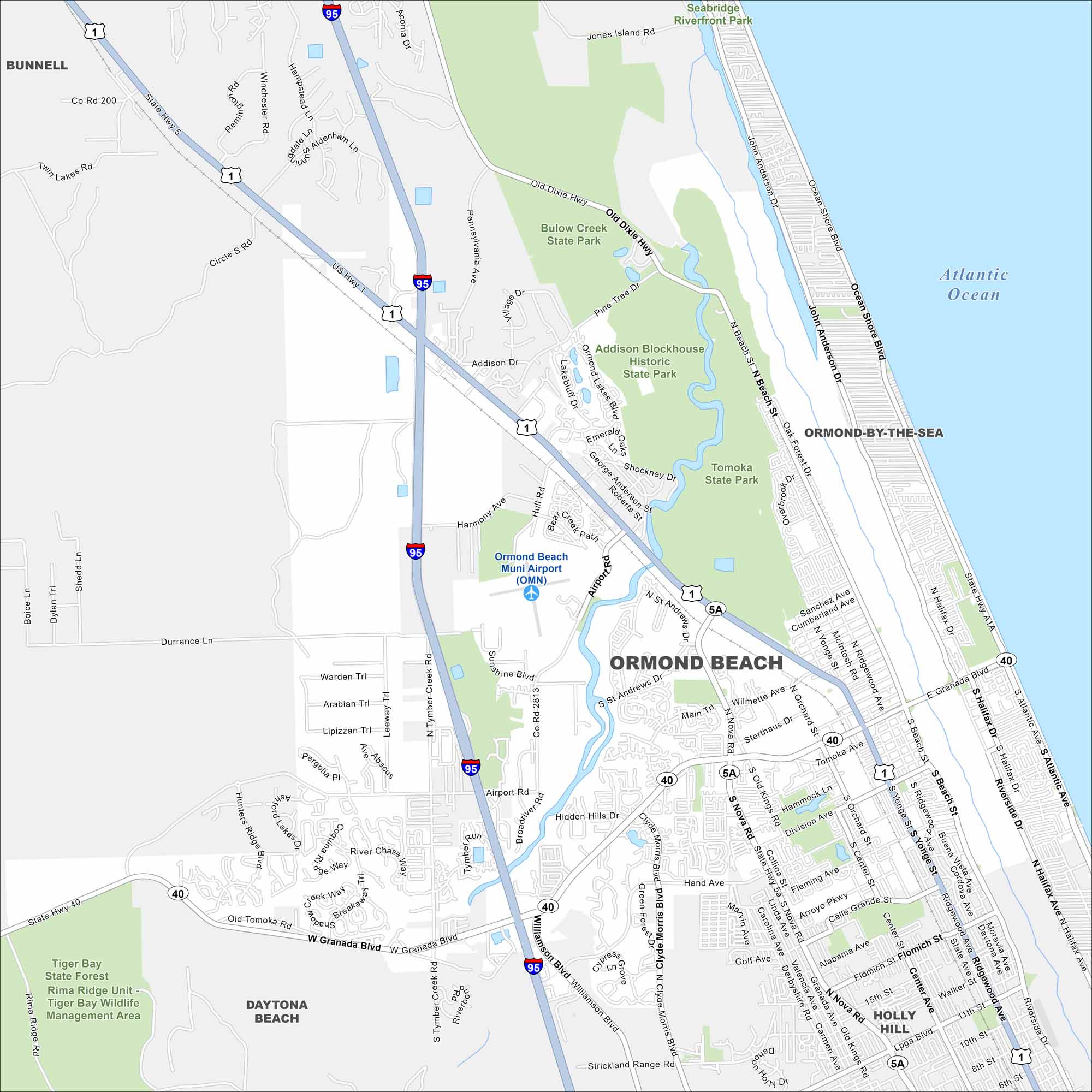
Ormond Beach hugs the Atlantic shoreline just north of Daytona Beach. Check out this map to see coastal neighborhoods, bridges, and riverfront parks. The area has long been a popular vacation spot.
Florida State Maps
Discover Florida through our state maps


Map Information
On the Map
Interstates/Highways: I-95, US Hwy 1, State Rte 40, State Rte 5A Major Roads: Granada Blvd, Nova Rd, Atlantic Ave, Yonge St, Beach St, Ocean Shore Blvd, Williamson Blvd, Clyde Morris Blvd, Old Dixie Hwy, Airport Rd, Tomoka Ave, Division Ave, Hand Ave, Fleming Ave, 15th St, 8th St, Wilmette Ave, Sterthaus Dr, Orchard St Airports: Ormond Beach Muni Airport (OMN) Lakes and Reservoirs: Atlantic Ocean Parks and Preserves: Bulow Creek State Park, Addison Blockhouse Historic State Park, Tomoka State Park, Tiger Bay State Forest, Tiger Bay Wildlife Management Area, Seabridge Riverfront Park Nearby Communities: Ormond-By-The-Sea, Holly Hill, Daytona Beach, BunnellFlorida City Maps
Chart your course through Miami and Florida’s cities


