Map of Oro Valley, Arizona
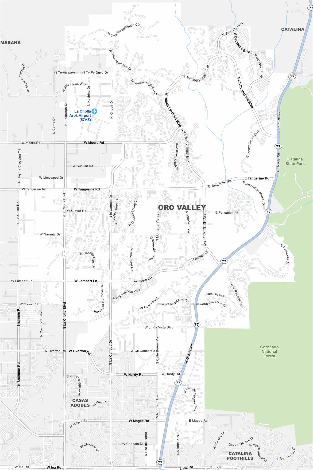
Oro Valley lies north of Tucson, surrounded by desert and mountain views. Our map shows neighborhoods located between canyons. The Santa Catalina Mountains dominate the northeastern horizon.
Arizona State Maps
Check out our Arizona state maps we’ve put together


Map Information
On the Map
Interstates/Highways: State Rte 77 (Oracle Rd) Major Roads: Tangerine Rd, Ina Rd, La Cholla Blvd, La Canada Dr, Lambert Ln, Magee Rd, Moore Rd, Naranja Dr, Overton Rd, Hardy Rd, Rancho Vistoso Blvd, Sun City Blvd, Innovation Park Dr, Linda Vista Blvd, Glover Rd, Shannon Rd, Chapala Dr, Palisades Rd, Valle del Oro Rd Airports: La Cholla Arpk Airport (57AZ) Parks/Preserves/Forests: Catalina State Park, Coronado National Forest Nearby Communities: Marana, Catalina, Casas Adobes, Catalina FoothillsArizona City Maps
Here’s our full batch of Arizona city maps


