Map of Oviedo, Florida
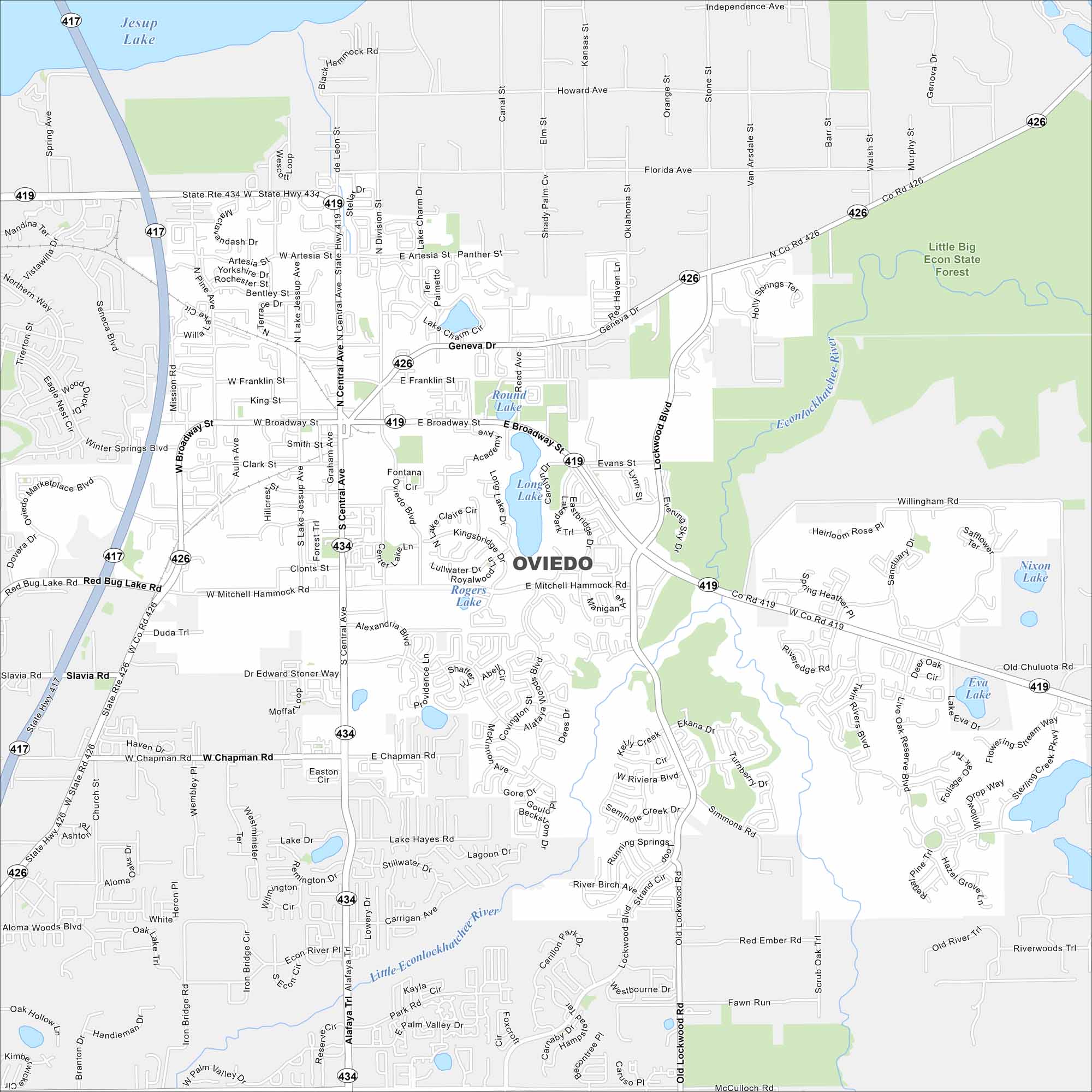
Oviedo lies northeast of Orlando with suburban neighborhoods and lakes scattered throughout. Take a look at this map to see its growth around major highways. The city is also known for the chickens that roam its downtown.
Florida State Maps
Discover Florida through our state maps


Map Information
On the Map
Interstates/Highways: State Rte 417, State Rte 419, State Rte 426, State Rte 434 Major Roads: Mitchell Hammock Rd, Broadway St, Central Ave, Alafaya Trl, Lockwood Blvd, Red Bug Lake Rd, Chapman Rd, Snow Hill Rd, McCulloch Rd, Ekana Dr, Riviera Blvd, Slavia Rd, Franklin St, King St, Clark St, Evans St, Carrigan Ave, Pine Ave Lakes and Reservoirs: Jesup Lake, Round Lake, Long Lake, Lullwater Dr, Royalwood Lake, Rogers Lake, Lake Hayes, Lake Dr, Eva Lake, Nixon Lake Major Rivers: Little Econlockhatchee River Parks and Preserves: Little Big Econ State Forest Nearby Communities: Winter Springs, Slavia, ChuluotaFlorida City Maps
Chart your course through Miami and Florida’s cities


