Map of Palm Beach Gardens, Florida
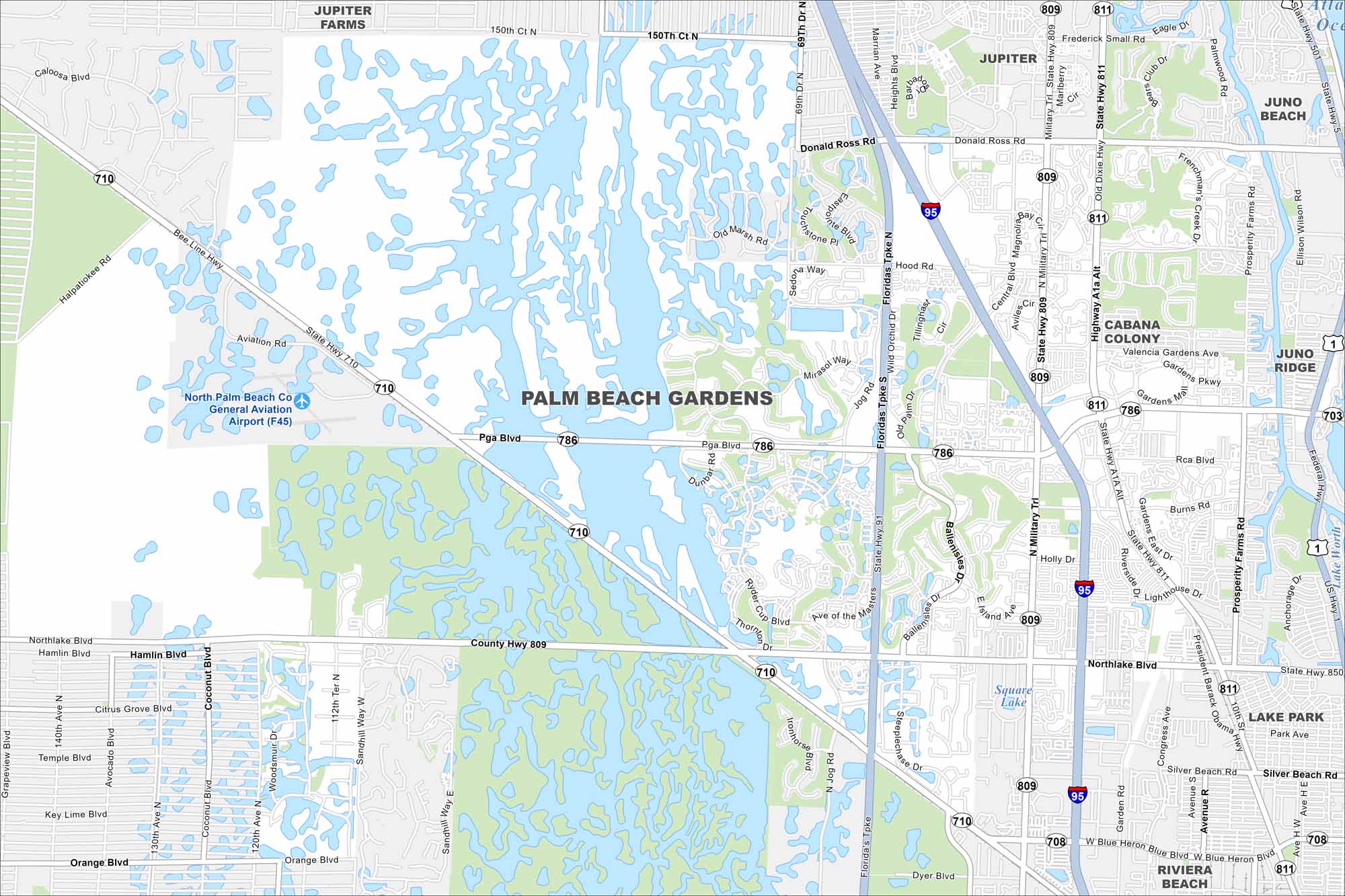
Our map of Palm Beach Gardens highlights its lakes and planned communities. The city sits just inland from the Atlantic coast. It’s also home to the PGA National Resort.
Florida State Maps
Discover Florida through our state maps


Map Information
On the Map
Interstates/Highways: I-95, State Rte 710, State Rte 786, State Rte 809, State Rte 811 Major Roads: Pga Blvd, Northlake Blvd, Military Trl, Beeline Hwy, Florida’s Tpke, Donald Ross Rd, Prosperity Farms Rd, Alternate A1A, Old Dixie Hwy, Hood Rd, RCA Blvd, Burns Rd, Gardens East Dr, Central Blvd, Kyoto Gardens Dr, Ironhorse Blvd, Jog Rd, Ave of the Masters Airports: North Palm Beach Co General Aviation Airport (F45) Lakes and Reservoirs: Square Lake Nearby Communities: Jupiter, Juno Beach, Juno Ridge, Cabana Colony, Lake Park, Riviera BeachFlorida City Maps
Chart your course through Miami and Florida’s cities


