Map of Prescott, Arizona
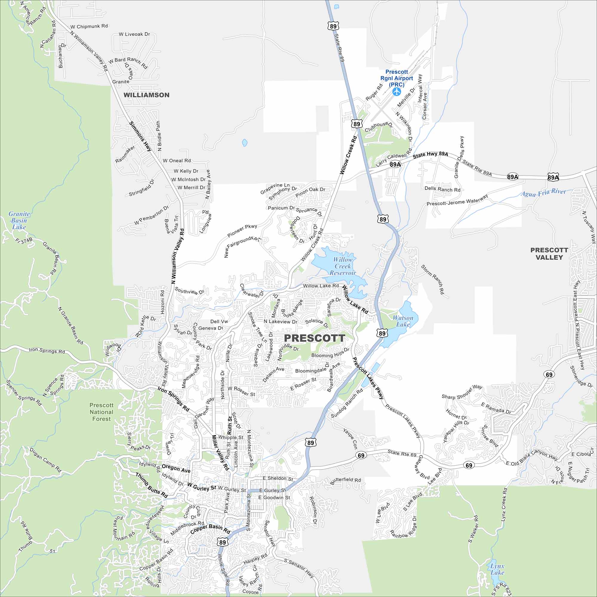
Our road map displays the city of Prescott, which sits in the mountains of central Arizona. Once the territorial capital, it still carries strong frontier history.
Arizona State Maps
Check out our Arizona state maps we’ve put together


Map Information
On the Map
Interstates/Highways: State Rte 89, State Rte 89A, State Rte 69, Prescott Lakes Pkwy Major Roads: Willow Creek Rd, Sheldon St, Gurley St, Montezuma St, Whipple St, Miller Valley Rd, Iron Springs Rd, Rosser St, Ruth St, Senator Hwy, Copper Basin Rd, Gail Gardner Way, Williamson Valley Rd, Pioneer Pkwy, Deep Well Rd, Ruger Rd, Melville Dr, Clubhouse Dr, Sundog Ranch Rd Airports: Prescott Rgnl Airport (PRC) Lakes and Rivers: Watson Lake, Willow Creek Reservoir, Lynx Lake, Granite Basin Lake Rivers and Creeks: Agua Fria River Parks/Preserves/Forests: Prescott National Forest Nearby Communities: Prescott Valley, WilliamsonArizona City Maps
Here’s our full batch of Arizona city maps


