Map of Prescott Valley, Arizona
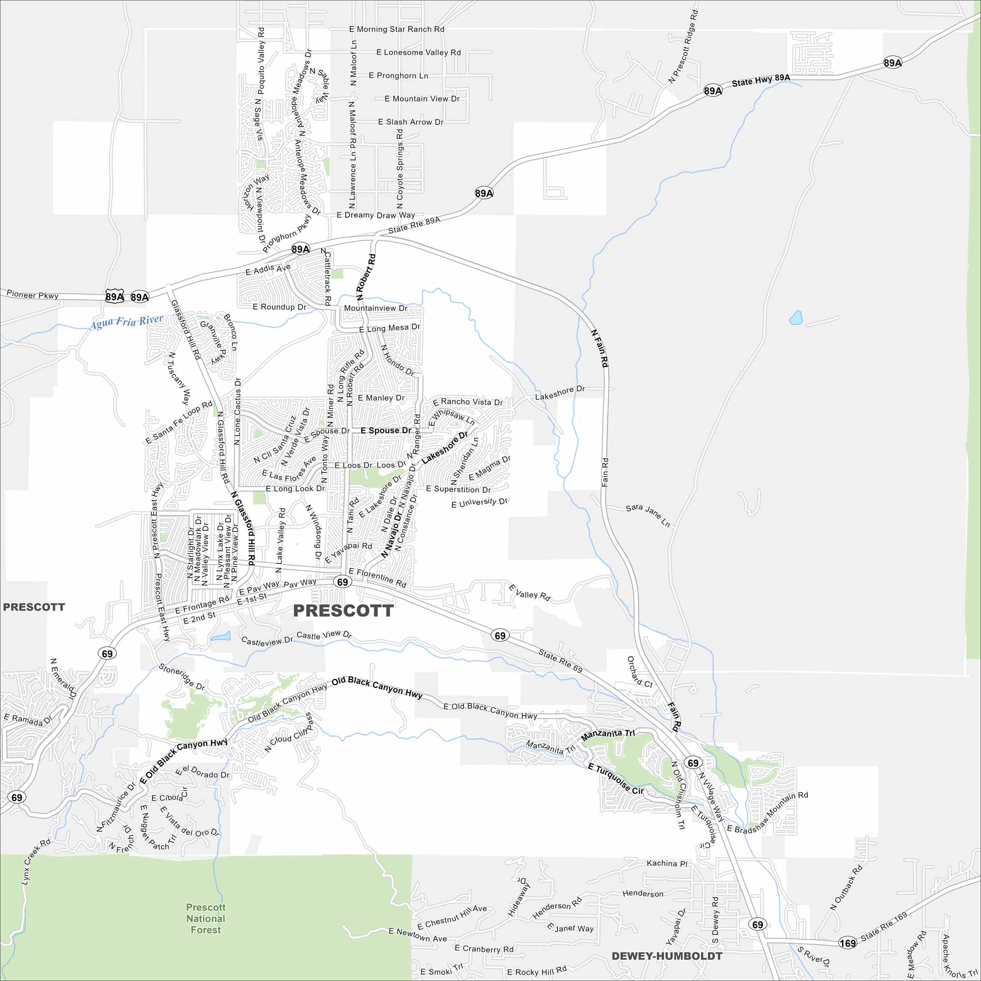
Our map of Prescott Valley shows wide residential streets and open spaces. Just east of Prescott, this younger community is one of Arizona’s fastest-growing areas. Its hiking trails brings in a lot of visitors too.
Arizona State Maps
Check out our Arizona state maps we’ve put together


Map Information
On the Map
Interstates/Highways: State Rte 89A, State Rte 69 Major Roads: Glassford Hill Rd, Fain Rd, Robert Rd, Viewpoint Dr, Lakeshore Dr, Windsong Dr, Lake Valley Rd, Florentine Rd, Pav Way, Long Look Drive, Loos Drive, Addis Ave, Roundup Dr, Lonesome Valley Rd, Pronghorn Pkwy, Spouse Dr, Magma Dr, University Dr, Frontage Rd, Stoneridge Dr Rivers and Creeks: Agua Fria River Parks/Preserves/Forests: Prescott National Forest Nearby Communities: Prescott, Dewey-HumboldtArizona City Maps
Here’s our full batch of Arizona city maps


