Map of Punta Gorda, Florida
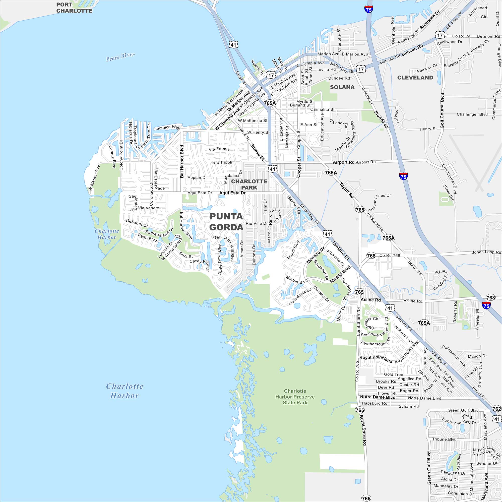
Punta Gorda is known for its boating and fishing especially on the shores of Charlotte Harbor. Our road map highlights the waterfront streets and marinas.
Florida State Maps
Discover Florida through our state maps


Map Information
On the Map
Interstates/Highways: I-75, US Hwy 41, State Rte 17, State Rte 35, State Rte 45, State Rte 765, State Rte 768 Major Roads: Tamiami Trl, Marion Ave, Olympia Ave, Airport Rd, Duncan Rd, Bermont Rd, Golf Course Blvd, Burnt Store Rd, Jones Loop Rd, Taylor Rd, Aqui Esta Dr, Bal Harbor Blvd, Monaco Dr, Madrid Blvd, Henry St, Shreve St, Retta Esplanade, Cooper St, Education Ave, Piper Rd Airports: Lakes and Reservoirs: Charlotte Harbor Major Rivers: Peace River Parks and Preserves: Charlotte Harbor Preserve State Park Nearby Communities: Port Charlotte, Solana, ClevelandFlorida City Maps
Chart your course through Miami and Florida’s cities


