Map of Queen Creek, Arizona
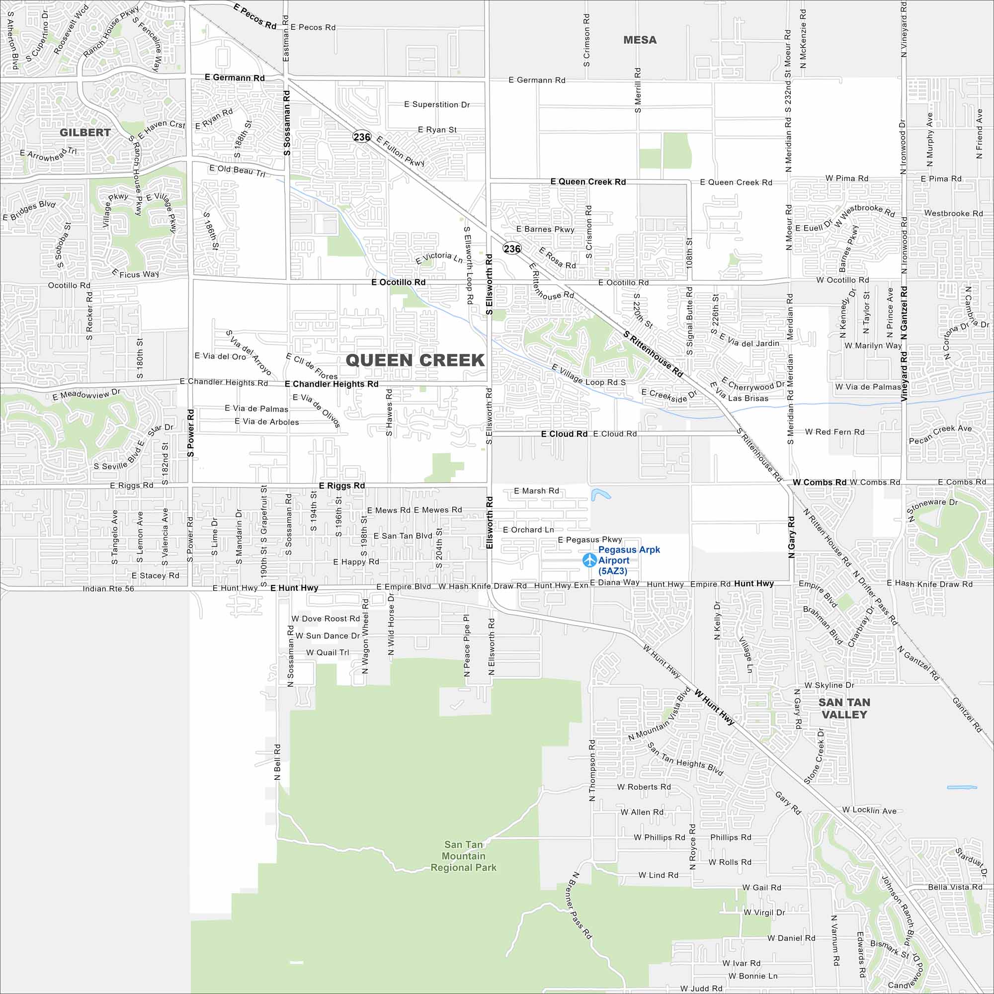
Queen Creek is a fast-growing town that sits in the Phoenix metro’s southeast corner. Our map outlines its neighborhoods and residential streets. Schnepf Farms is one of Queen Creek’s most recognized landmarks.
Arizona State Maps
Check out our Arizona state maps we’ve put together


Map Information
On the Map
Interstates/Highways: State Rte 236 Major Roads: Rittenhouse Rd, Ellsworth Rd, Power Rd, Hawes Rd, Sossaman Rd, Gantzel Rd, Hunt Hwy, Ocotillo Rd, Chandler Heights Rd, Riggs Rd, Combs Rd, Queen Creek Rd, Germann Rd, Pecos Rd, Ryan Rd, Empire Blvd, Cloud Rd, Gary Rd, Ironwood Dr, Meridian Rd Airports: Pegasus Arpk Airport (5AZ3) Parks/Preserves/Forests: San Tan Mountain Regional Park Nearby Communities: Gilbert, Mesa, San Tan ValleyArizona City Maps
Here’s our full batch of Arizona city maps


