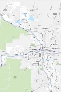
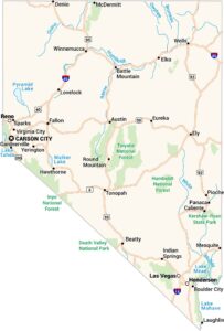
Map of Reno, Nevada
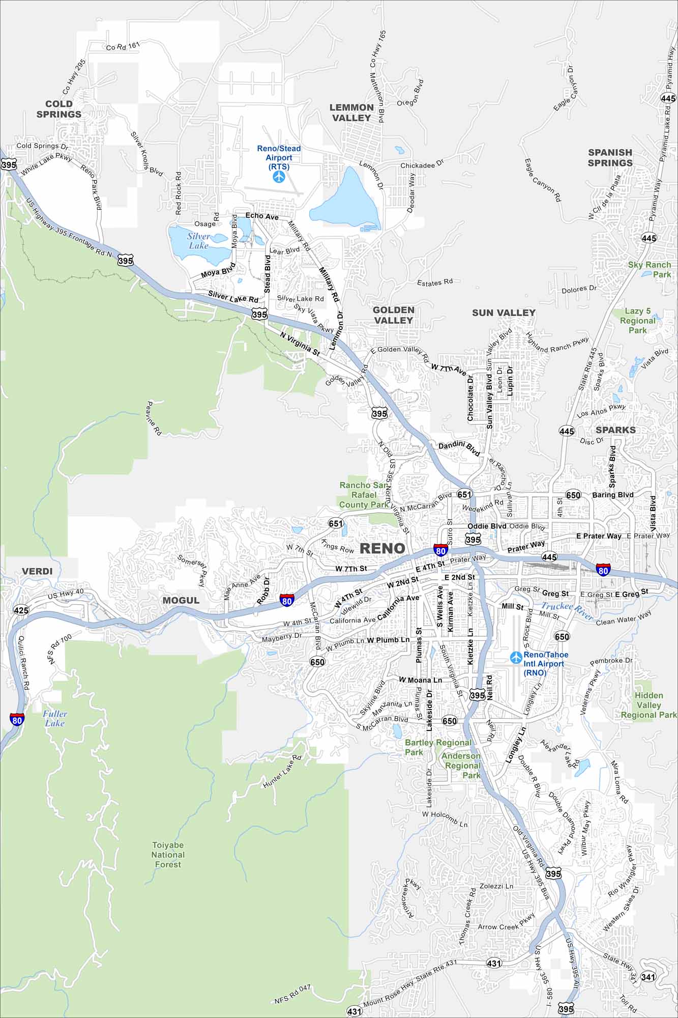
Reno is known as “The Biggest Little City in the World”. Casinos, the Truckee River, and proximity to Lake Tahoe shape its identity. Our map lays out the downtown core and main highways leading in and out.
Map Information
On the Map
Interstates/Highways: I-80, US Hwy 395, US Hwy 395 Alt, State Rte 445, State Rte 431, State Rte 651, State Rte 650 Major Roads: Virginia St, McCarran Blvd, Plumb Ln, Moana Ln, Kietzke Ln, Wells Ave, Lakeside Dr, Keystone Ave, Fourth St, Second St, Mill St, Rock Blvd, Oddie Blvd, Prater Way, Pyramid Way, Sparks Blvd, Vista Blvd, Sun Valley Blvd, Clear Acre Ln, Robb Dr Airports: Reno/Tahoe Intl Airport (RNO), Reno/Stead Airport (RTS) Lakes and Reservoirs: Silver Lake, Fuller Lake Major Rivers: Truckee River Parks and Preserves: Toiyabe National Forest, Rancho San Rafael County Park, Bartley Regional Park, Anderson Regional Park, Hidden Valley Regional Park, Lazy 5 Regional Park Nearby Communities: Cold Springs, Lemmon Valley, Golden Valley, Sun Valley, Spanish Springs, Sparks, Verdi, MogulNevada State Maps
Click on one of our maps of the Silver State.


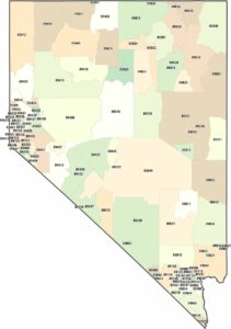
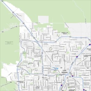
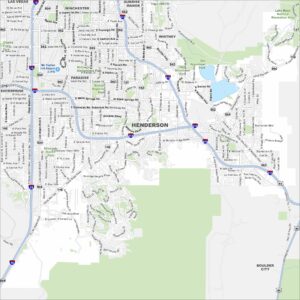
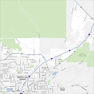
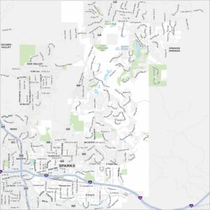
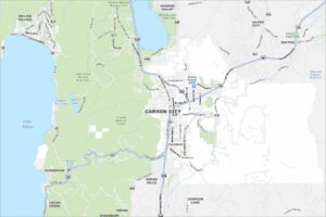
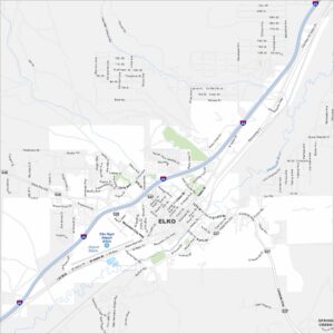
City Maps of Nevada
Explore cities in Nevada from desert to mountains