Down East Map, Maine
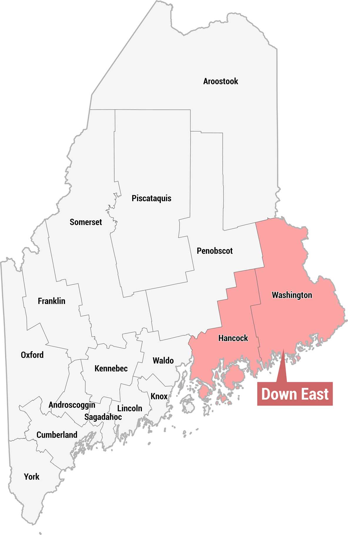
Check out our county map of Maine showing the Down East region in pink. This region is situated across the eastern portion of the state, next to the Atlantic Ocean.
Map Information
On the Map
Down East Maine Counties (red): Hancock, Washington Other Maine Counties: Aroostook, Penobscot, Piscataquis, Somerset, Franklin, Oxford, Kennebec, Waldo, Knox, Lincoln, Sagadahoc, Androscoggin, Cumberland, YorkReferences
Metropolitan Regions
Developed areas, suburban zones, and metro regions.