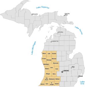
Michigan Thumb Map
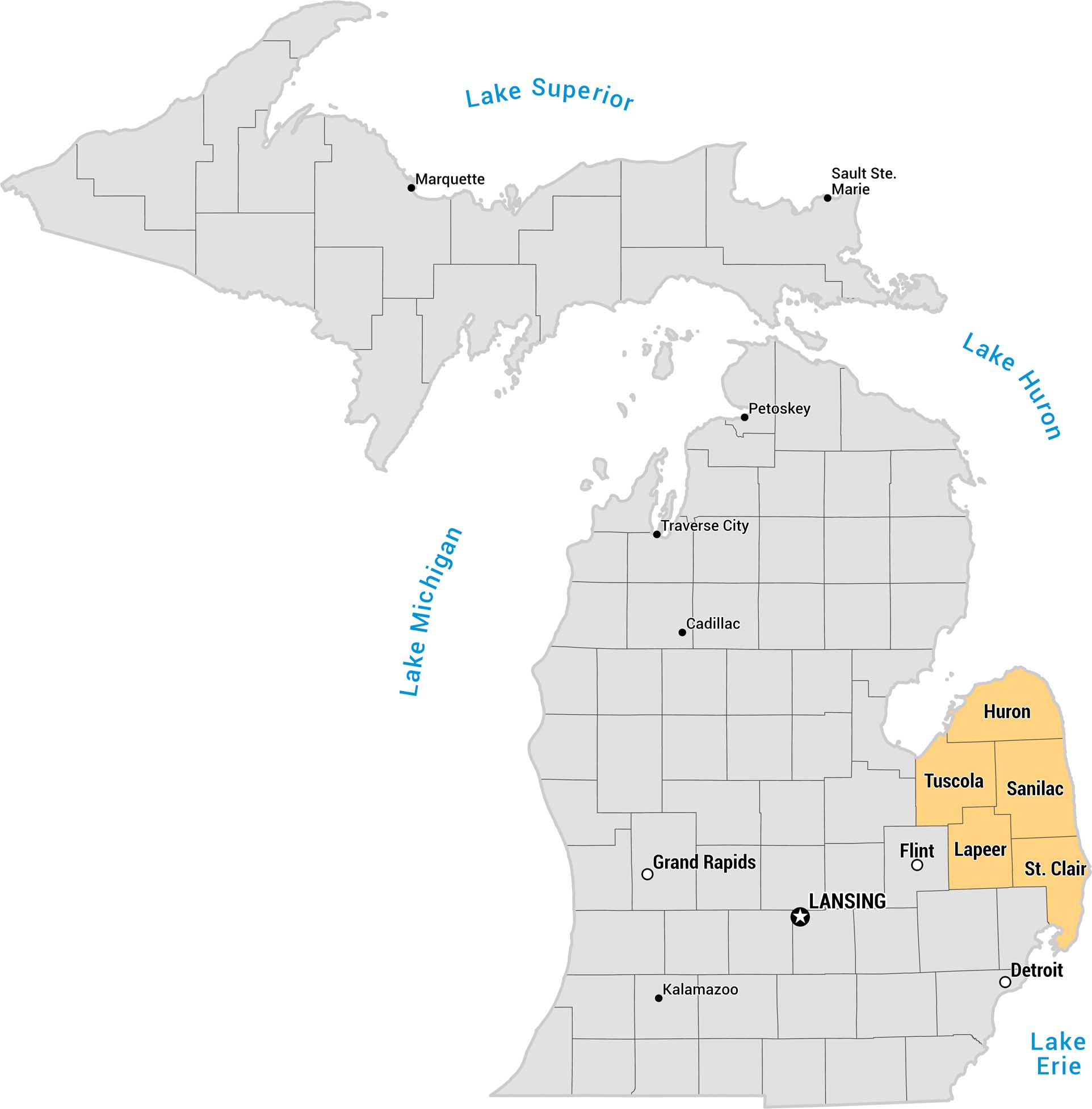
This is a county map of Michigan highlighting the Thumb region in orange. It’s called that because this distinctive peninsula on the eastern side resembles an outstretched thumb. The remaining counties are shown in gray, with major cities labeled throughout.
Map Information
On the Map
Thumb Counties: Huron, Tuscola, Sanilac, Lapeer, St. Clair Major Cities: Lansing (capital), Detroit, Grand Rapids, Flint, Kalamazoo, Traverse City, Marquette, Sault Ste. Marie, Petoskey, Cadillac Great Lakes: Lake Superior, Lake Michigan, Lake Huron, Lake ErieReferences
Metropolitan Regions
Developed areas, suburban zones, and metro regions.