New England Map
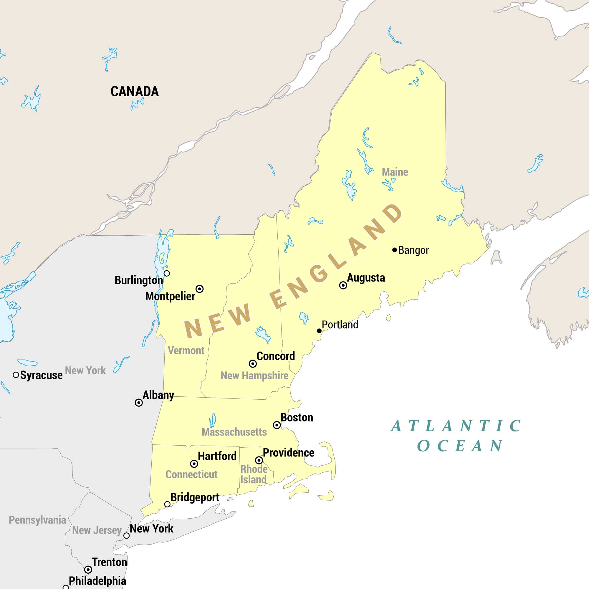
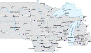
Our regional map highlights New England states in yellow, set against surrounding states and Canada in tan/gray. The Atlantic Ocean borders the region to the east. We’ve also marked key cities including state capitals throughout.
Map Information
On the Map
New England States: Maine, Vermont, New Hampshire, Massachusetts, Rhode Island, Connecticut State Capitals: Augusta (ME), Montpelier (VT), Concord (NH), Boston (MA), Providence (RI), Hartford (CT) Other Cities within New England: Bangor, Portland, Burlington, Bridgeport Surrounding States/Regions: New York, New Jersey, Pennsylvania, Canada Surrounding Cities (outside New England): Albany, Syracuse, New York, Trenton, Philadelphia Bodies of Water: Atlantic OceanReferences
Metropolitan Regions
Developed areas, suburban zones, and metro regions.