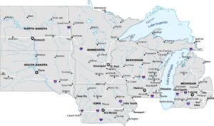
Pacific Northwest Map
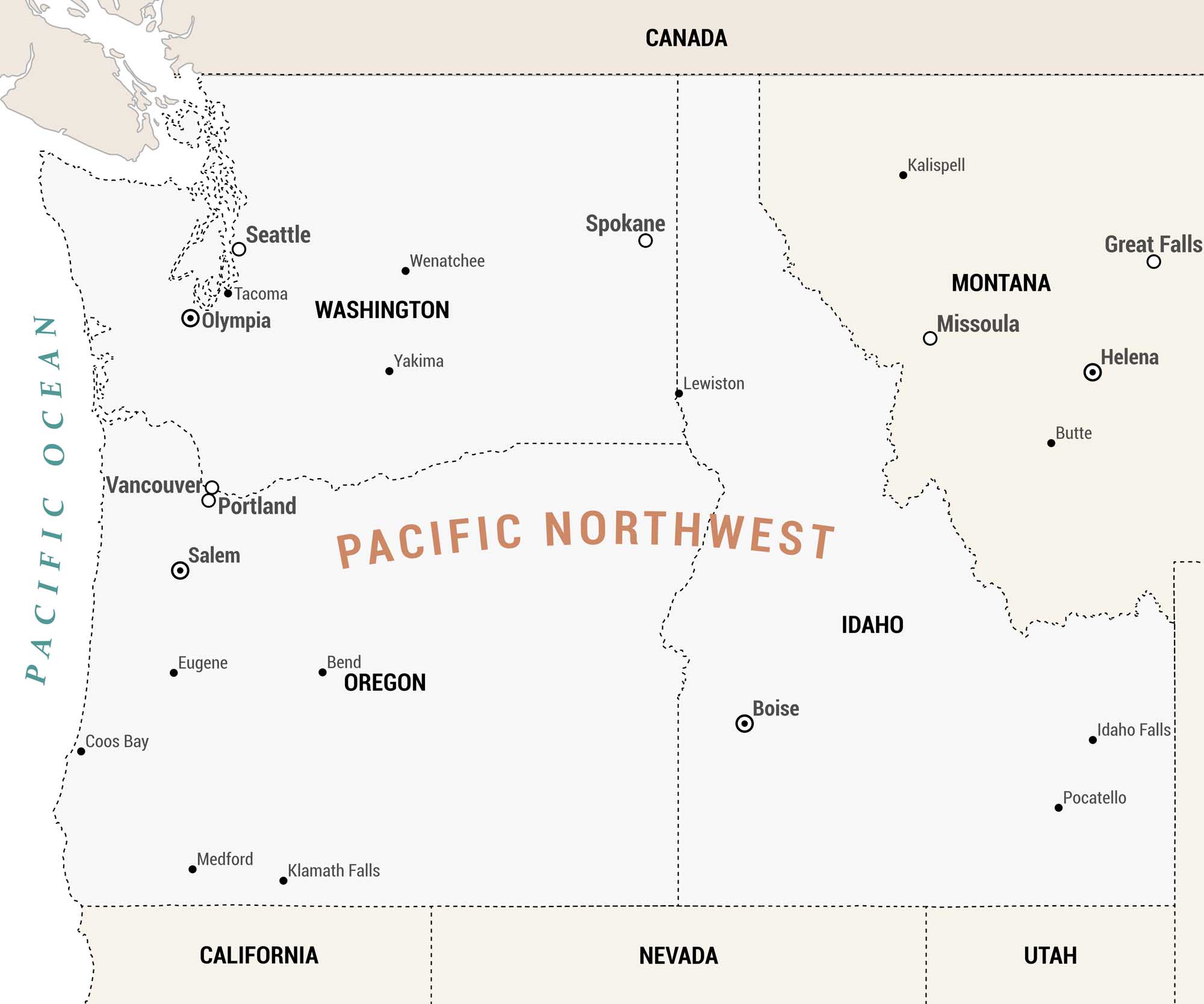
Our Pacific Northwest map covers the northwestern corner of the United States. The region borders Canada to the north and the Pacific Ocean to the west. California, Nevada, and Utah are located to the south. The Pacific Northwest region encompasses Washington, Oregon, Idaho, and Montana.
Map Information
On the Map
Major Cities: Seattle, Portland, Spokane Cities/Towns: Tacoma, Vancouver, Wenatchee, Yakima, Salem, Eugene, Bend, Coos Bay, Medford, Klamath Falls, Lewiston, Boise, Idaho Falls, Pocatello, Missoula, Kalispell, Butte, Great Falls State Capitals: Olympia (Washington), Salem (Oregon), Boise (Idaho), Helena (Montana)Metropolitan Regions
Developed areas, suburban zones, and metro regions.


