Map of Sault Ste. Marie, Michigan
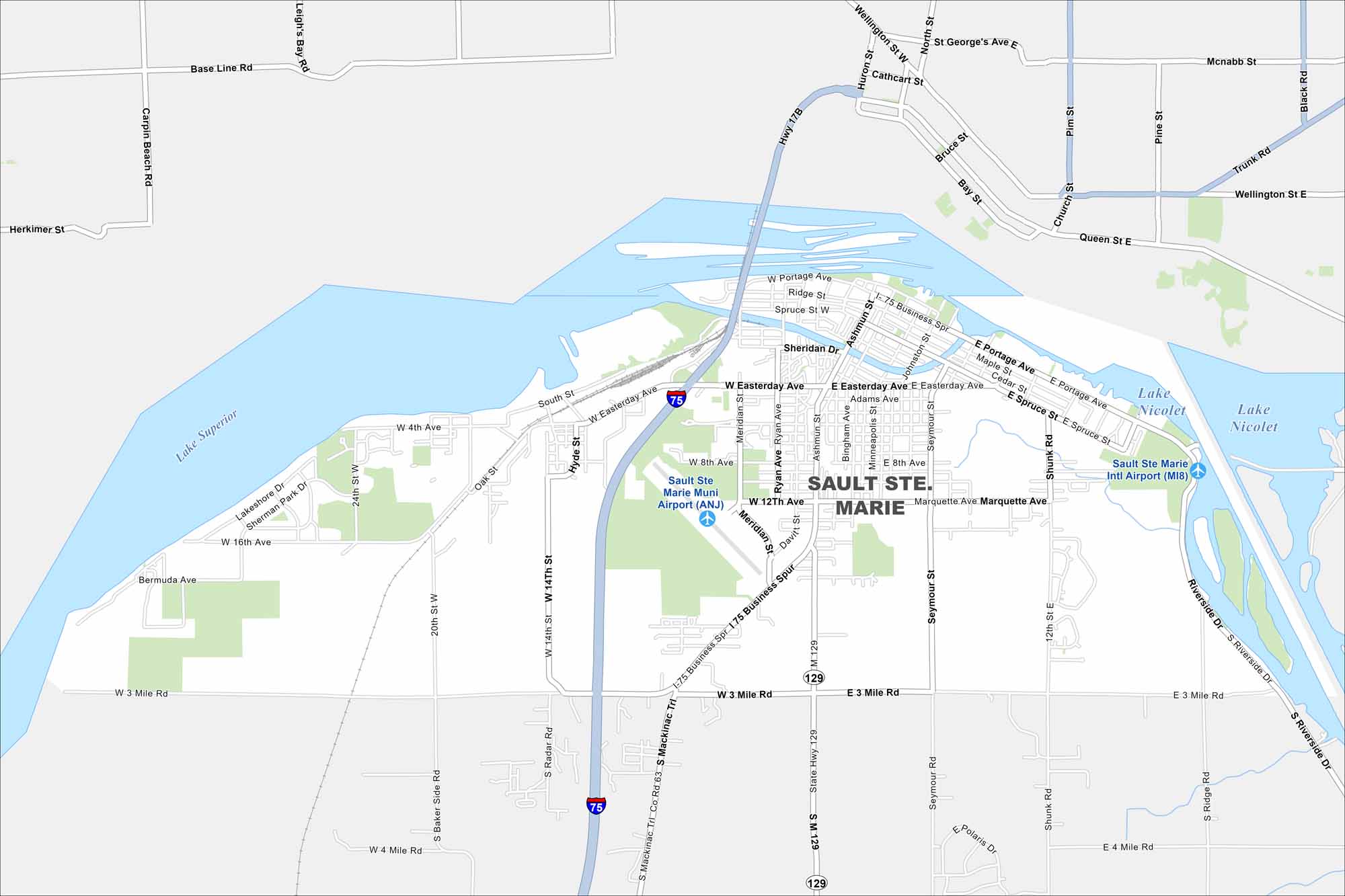
Here’s our map of Sault Ste. Marie, where it connects to Lake Superior. It’s a historic waterfront city, bordering Canada to the north.
Map Information
On the Map
Interstates/Highways: I-75, State Rte 129 Major Roads: Easterday Ave, 3 Mile Rd, Ashmun St, Portage Ave, Spruce St, Marquette Ave, Business Spur I-75, Riverside Dr, 4th Ave, 8th Ave, 12th Ave, Shunk Rd, Seymour St, Meridian St, Ryan Ave, Johnston St, Bingham Ave, 14th St, 20th St, 24th St Airports: Sault Ste Marie Muni Airport (ANJ), Sault Ste Marie Intl Airport (MI8) Lakes and Reservoirs: Lake Superior, Lake Nicolet Nearby Communities: MarysvilleMichigan State Maps
Get to know Michigan with our detailed maps


City Maps of Michigan
Check out our maps of Detroit and other cities in Michigan


