Map of Scarsdale, New York
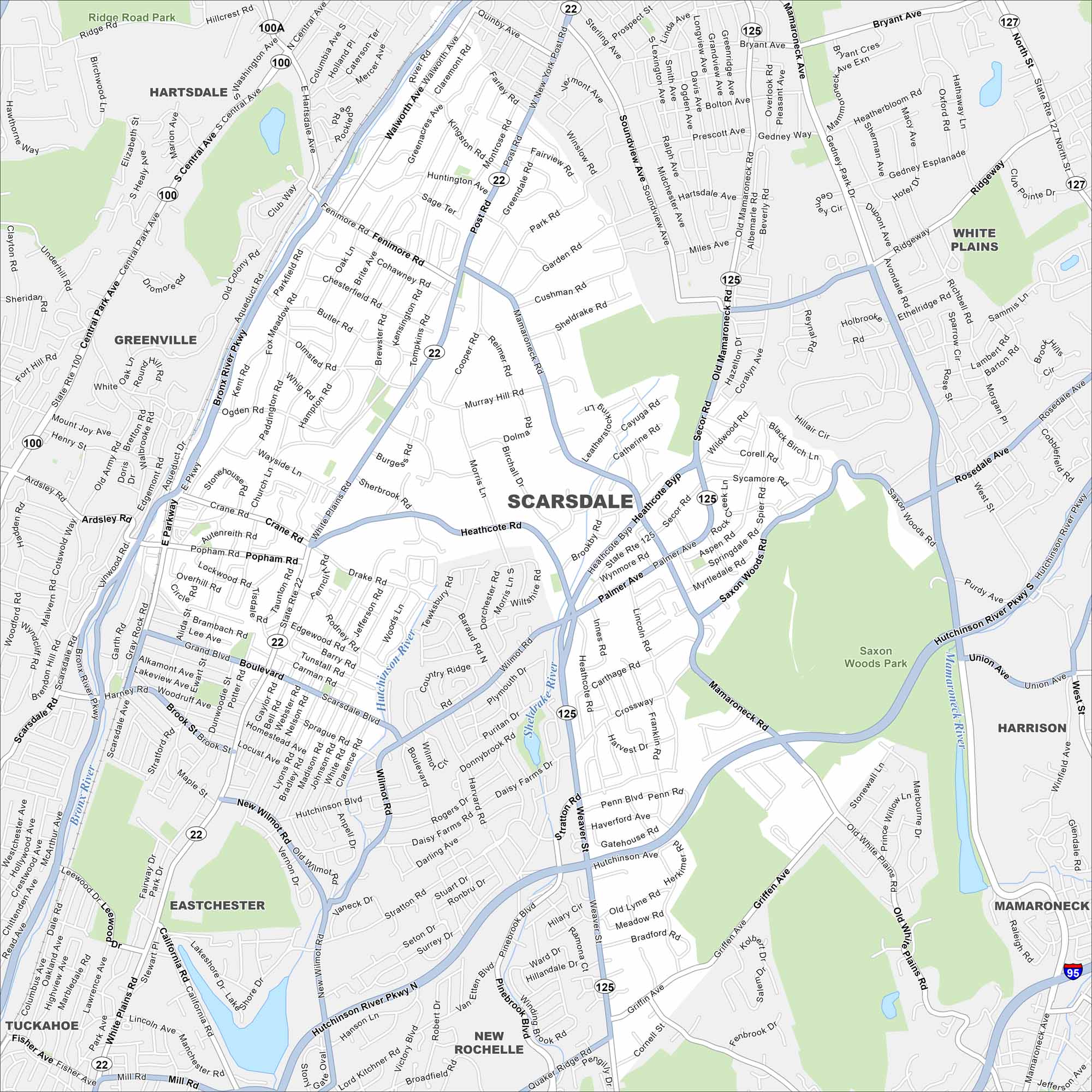
Our map of Scarsdale shows this Westchester suburb with its quiet streets, schools, and parks. It’s a great tool for getting your bearings.
Map Information
On the Map
Interstates/Highways: I-95, State Rte 125, State Rte 22, State Rte 100, State Rte 100A, State Rte 127 Major Roads: Post Rd, Central Park Ave, Mamaroneck Rd, Weaver St, Popham Rd, Heathcote Rd, Wilmot Rd, Palmer Ave, Secor Rd, Ardsley Rd, Fenimore Rd, Bronx River Pkwy, Hutchinson River Pkwy, White Plains Rd, Crane Rd, Boulevard, Walworth Ave, Saxon Woods Rd, Griffen Ave, Quaker Ridge Rd Lakes and Reservoirs: Sheldrake Lake Major Rivers: Bronx River, Hutchinson River, Sheldrake River Parks and Preserves: Saxon Woods Park, Ridge Road Park Nearby Communities: Hartsdale, Greenville, White Plains, Mamaroneck, Harrison, New Rochelle, Eastchester, TuckahoeNew York State Maps
Find state maps of the Empire State.


City Maps of New York
Here are the city maps that define New York


