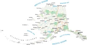
Alaska Biomes Map
See how Alaska spreads from Arctic tundra down to boreal forest. We’ve mapped the state’s major biomes across mountains, plains, and long shorelines. The scale alone tells you why Alaska feels so different from the rest of the country.
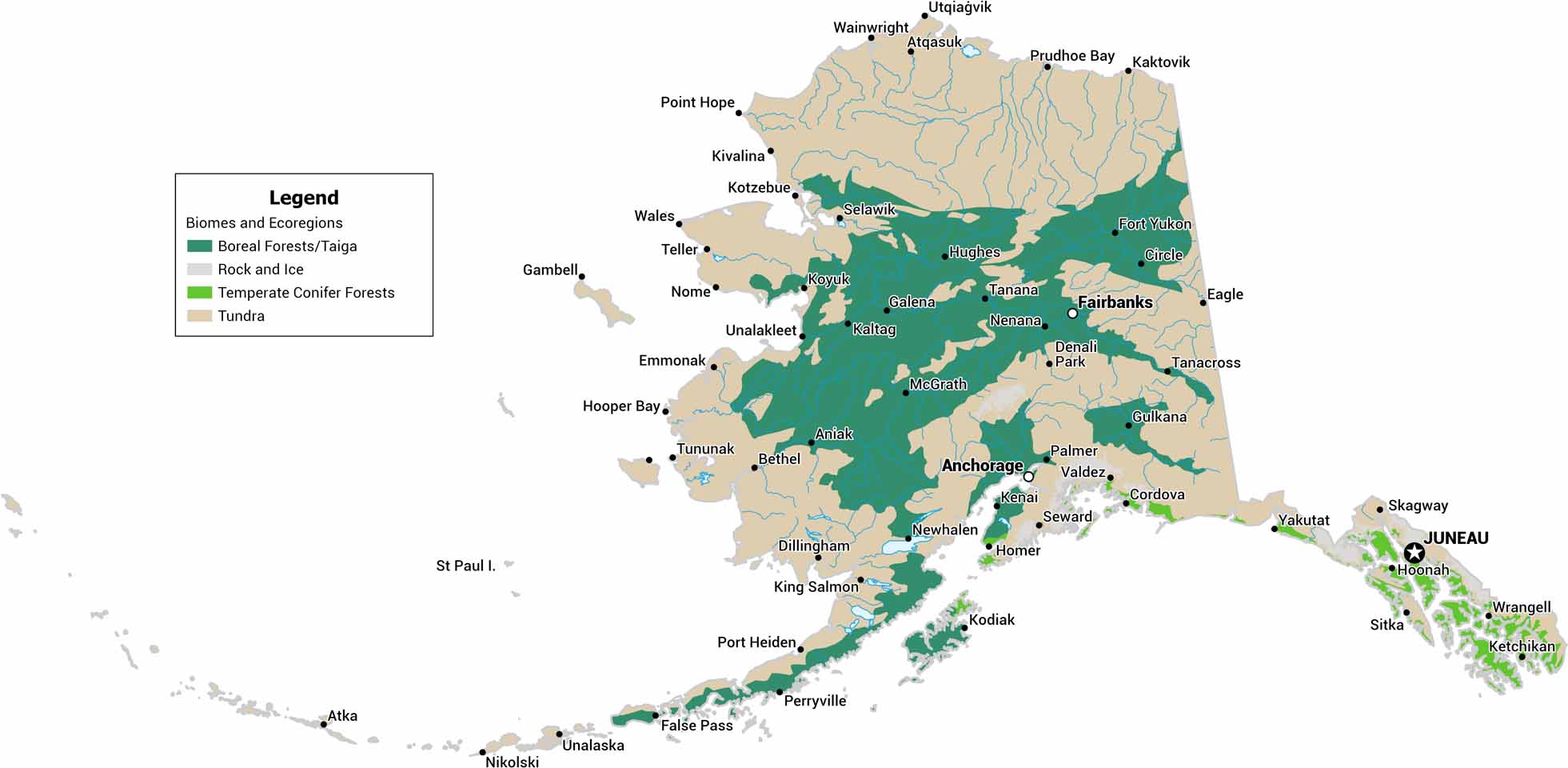
Map Information
On the Map
Our table below displays the biome area and percent for Alaska.|
Biome |
Area (Square Miles) |
Percent |
|
Boreal Forests/Taiga |
219942 |
33.1 |
|
Rock and Ice |
12392 |
1.9 |
|
Temperate Conifer Forests |
27924 |
4.2 |
|
Tundra |
405126 |
60.9 |
|
Ecoregion |
Area (Square Miles) |
Percent |
|
Ahklun and Kilbuck Upland Tundra |
22357 |
3.4 |
|
Alaska Peninsula montane taiga |
21292 |
3.2 |
|
Alaska-St. Elias Range tundra |
62275 |
9.4 |
|
Aleutian Islands tundra |
5248 |
0.8 |
|
Arctic coastal tundra |
21937 |
3.3 |
|
Arctic foothills tundra |
54850 |
8.2 |
|
Beringia lowland tundra |
67252 |
10.1 |
|
Beringia upland tundra |
20757 |
3.1 |
|
Brooks-British Range tundra |
58963 |
8.9 |
|
Central Pacific Northwest coastal forests |
35 |
0.0 |
|
Cook Inlet taiga |
12305 |
1.8 |
|
Copper Plateau taiga |
7607 |
1.1 |
|
Interior Alaska-Yukon lowland taiga |
178737 |
26.9 |
|
Interior Yukon-Alaska alpine tundra |
50670 |
7.6 |
|
Northern Pacific Alaskan coastal forests |
27889 |
4.2 |
|
Ogilvie-MacKenzie alpine tundra |
4726 |
0.7 |
|
Pacific Coastal Mountain icefields and tundra |
36090 |
5.4 |
|
Rock and Ice |
12392 |
1.9 |
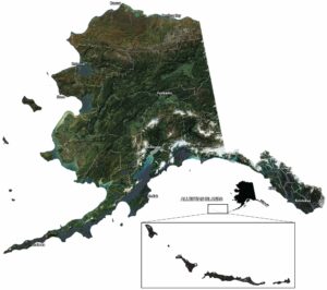
Alaska State Maps
Take a look at our Alaska state maps