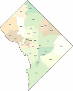
District of Columbia Map
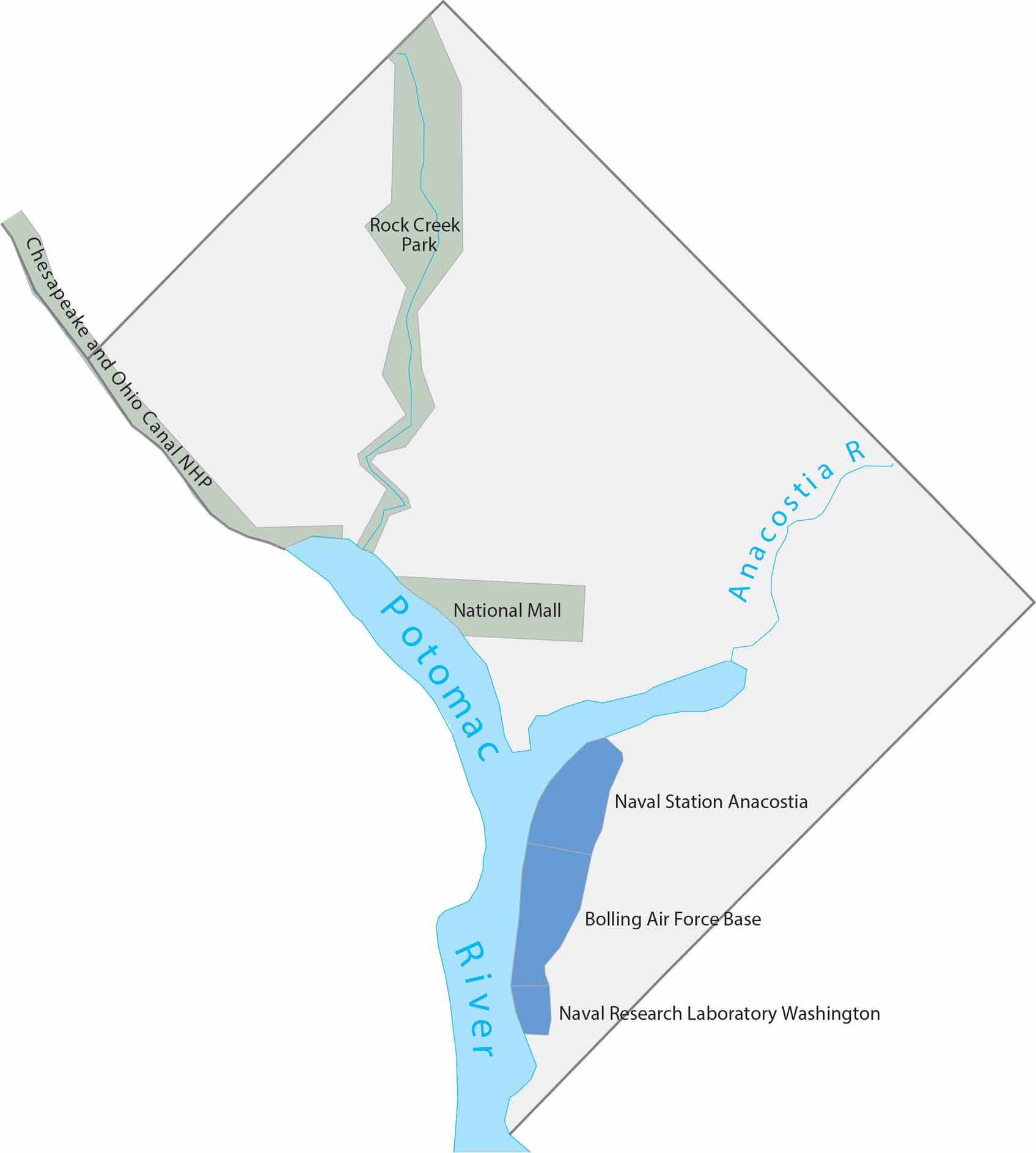
DC spans just 68 square miles between Maryland and Virginia. Our map shows the Potomac River, National Mall and Rock Creek Park. The National Mall cuts through the center. Rock Creek Park provides the largest green space, splitting the western neighborhoods from the rest.
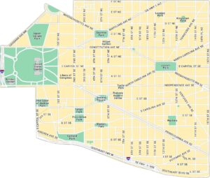
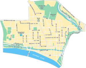
Washington DC Neighborhood Maps
See our neighborhood maps for a closer look of the city.
Map Information
On the Map
Parks and Preserves: Chesapeake and Ohio Canal NHP, National Mall, Rock Creek Park Water Bodies: Anacostia River, Potomac River Military and Research Facilities: Bolling Air Force Base, Naval Research Laboratory Washington, Naval Station AnacostiaDistrict of Columbia Maps
Select any District of Columbia map below to view its layout.