Map of Sturgis, Michigan
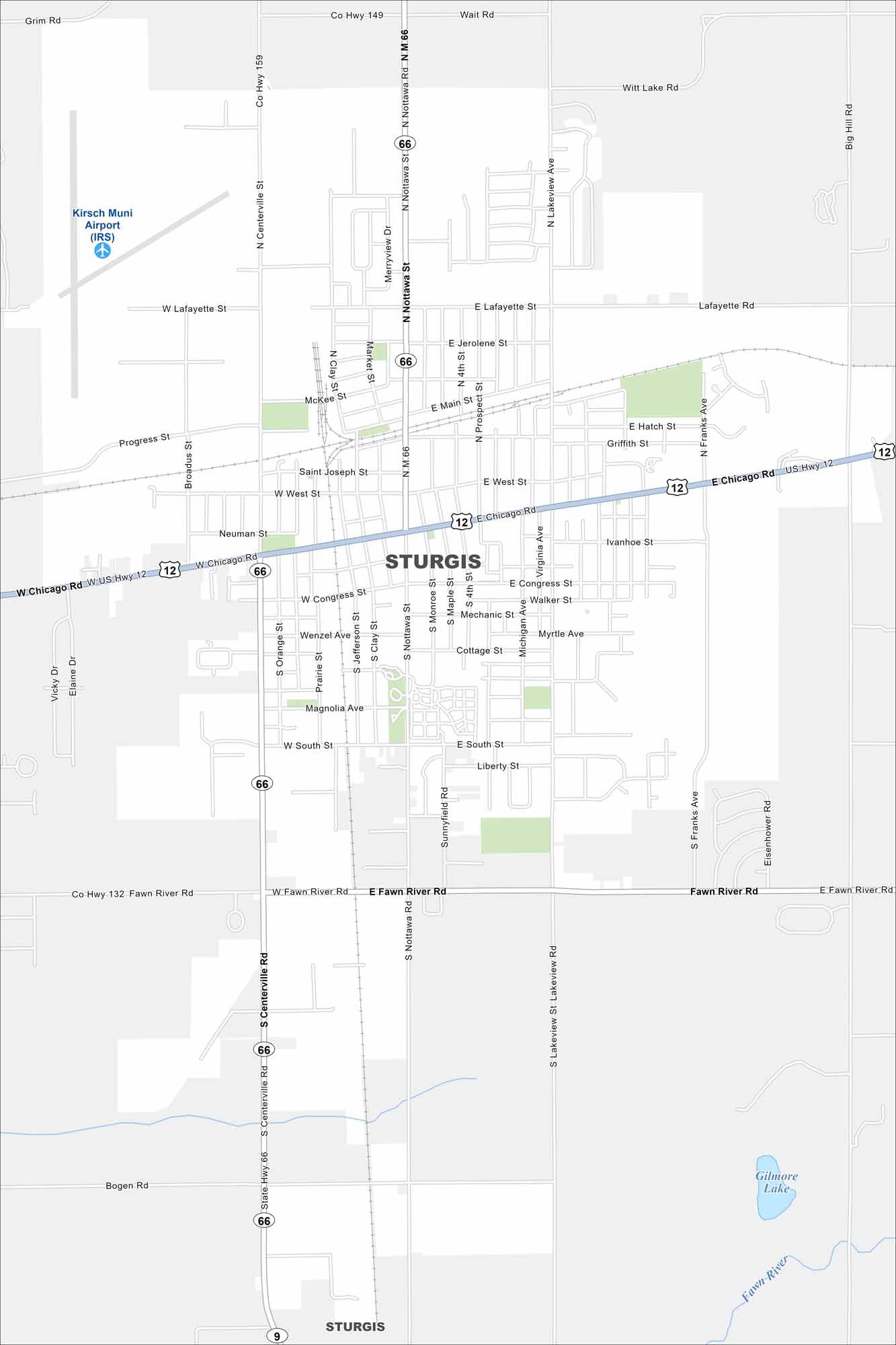
We’ve mapped out every major road in Sturgis, Michigan. It’s a community close to the Indiana border, with small-town streets and quiet neighborhoods.
Map Information
On the Map
Interstates/Highways: US Hwy 12, State Hwy 66 Major Roads: Chicago Rd, Nottawa St, Centerville Rd, Fawn River Rd, Lafayette Rd, Main St, West St, South St, Congress St, Franks Ave, Lakeview Ave Airports: Kirsch Muni Airport (IRS) Lakes and Reservoirs: Gilmore Lake Major Rivers: Fawn RiverMichigan State Maps
Get to know Michigan with our detailed maps


City Maps of Michigan
Check out our maps of Detroit and other cities in Michigan


