Space Center Houston Map
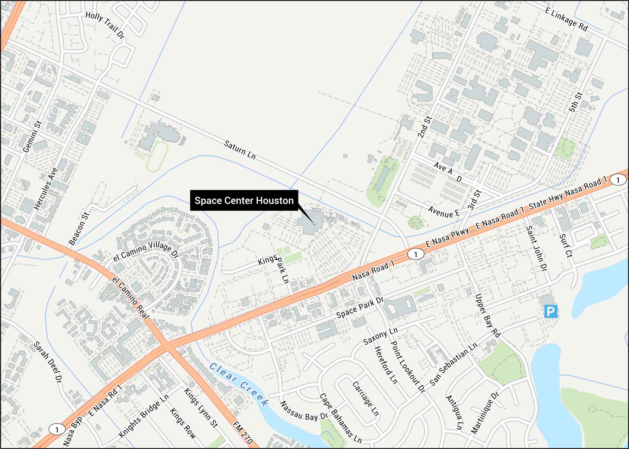
Space Center Houston is the official visitor center for NASA’s astronaut training headquarters on the Texas Gulf Coast. Our map of shows the location of Space Center Houston with highways, lakes and creeks.
Map Information
On the Map
Interstates/Highways: State Hwy Nasa Road 1 Major Roads: E Nasa Pkwy, Nasa Road 1, FM 270, El Camino Real, Space Park Dr, Saturn Ln, Gemini St, Hercules Ave, Beacon St, Upper Bay Rd, San Sebastian Ln, Kings Lynn St, Knights Bridge Ln, Kings Row, Nassau Bay Dr, Cape Bahamas Ln, Carriage Ln, Point Lookout Dr, Saxony Ln, Avenue E Creeks: Clear Creek Other Landmarks: Space Center HoustonTourist Maps in Texas
Discover all the prime locations with our tourist maps.