Dallas International Airport Map
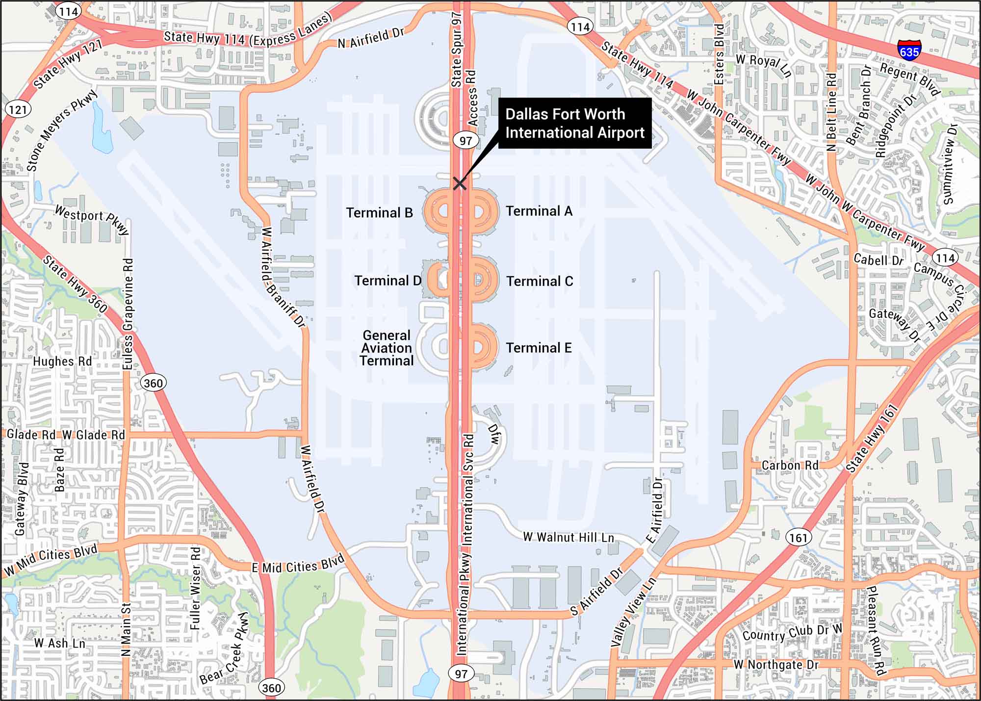
Our map of Dallas International Airport gives a clear overview with terminals and runways. The airport sits between Dallas and Fort Worth.
Map Information
On the Map
Interstates/Highways: I-635, State Hwy 114, State Hwy 121, State Hwy 360, State Hwy 161 Major Roads: International Pkwy, W John Carpenter Fwy, W Airfield Dr, E Airfield Dr, W Mid Cities Blvd, E Mid Cities Blvd, W Walnut Hill Ln, W Glade Rd, W Northgate Dr, W Royal Ln, Valley View Ln, Airfield Dr, Esters Blvd, Freeport Pkwy, Stone Meyers Pkwy, Westport Pkwy, Euless Grapevine Rd, Bear Creek Pkwy, Country Club Dr W, Carbon Rd Other Landmarks: Terminal A, Terminal B, Terminal C, Terminal D, Terminal E, General Aviation TerminalTourist Maps in Texas
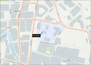
Discover all the prime locations with our tourist maps.