San Antonio Airport Map
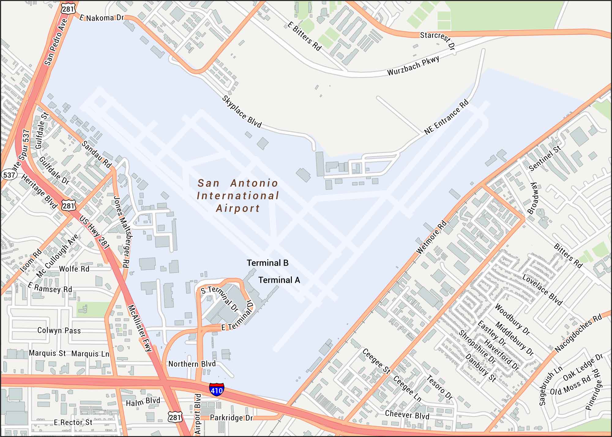
See the streets close to San Antonio Airport. Our map shows terminals, runways, and the nearby interchanges. You’ll find this airport north of downtown, in a region known for Hill Country terrain.
Map Information
On the Map
Interstates/Highways: I-410, US Hwy 281, McAllister Fwy Major Roads: San Pedro Ave, Wurzbach Pkwy, Wetmore Rd, Broadway, E Bitters Rd, E Nakoma Dr, E Rector St, Northern Blvd, Airport Blvd, Parkridge Dr, Skyplace Blvd, NE Entrance Rd, Starcrest Dr, Jones Maltsberger Rd, Mc McCullough Ave, Sandau Rd, Isom Rd, Bitters Rd, Lovelace Blvd Other Landmarks: San Antonio International Airport, Terminal A, Terminal BTourist Maps in Texas
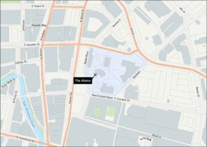
Discover all the prime locations with our tourist maps.