Austin International Airport Map
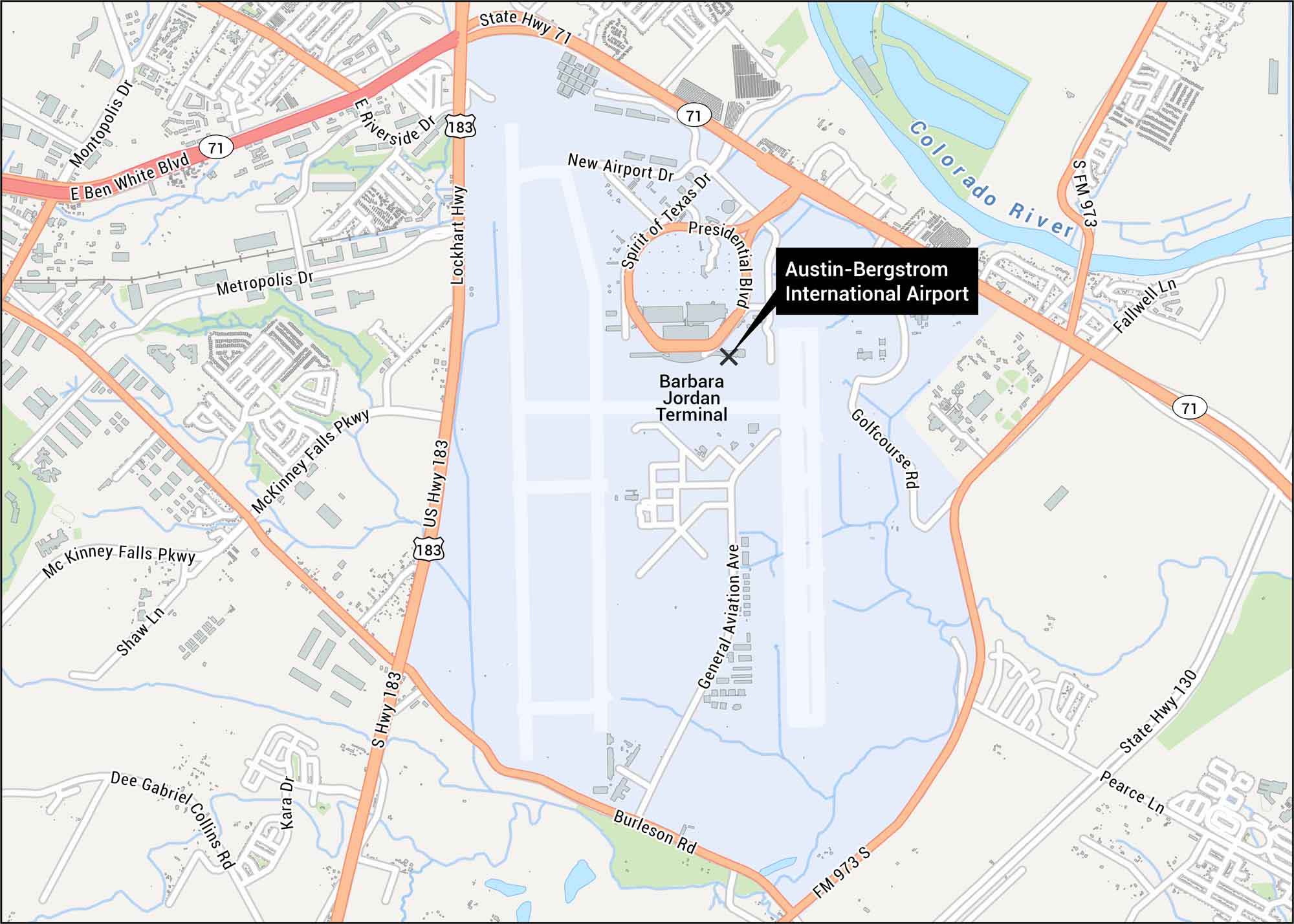
Our map shows the layout at Austin’s main airport. You can see highways, runways and the main terminal. The airport sits southeast of downtown off Highway 71.
Map Information
On the Map
Interstates/Highways: US Hwy 183, State Hwy 71, State Hwy 130 Major Roads: Burleson Rd, Metropolis Dr, McKinney Falls Pkwy, New Airport Dr, Spirit of Texas Dr, Presidential Blvd, General Aviation Ave, Golfcourse Rd, E Riverside Dr, E Ben White Blvd, Fallwell Ln, Montopolis Dr, Shaw Ln, Kara Dr, Dee Gabriel Collins Rd, Pearce Ln, Lockhart Hwy Rivers/Lakes: Colorado River Other Landmarks: Barbara Jordan TerminalTourist Maps in Texas
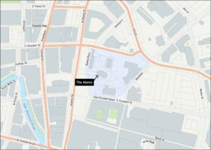
Discover all the prime locations with our tourist maps.