Map of Titusville, Florida
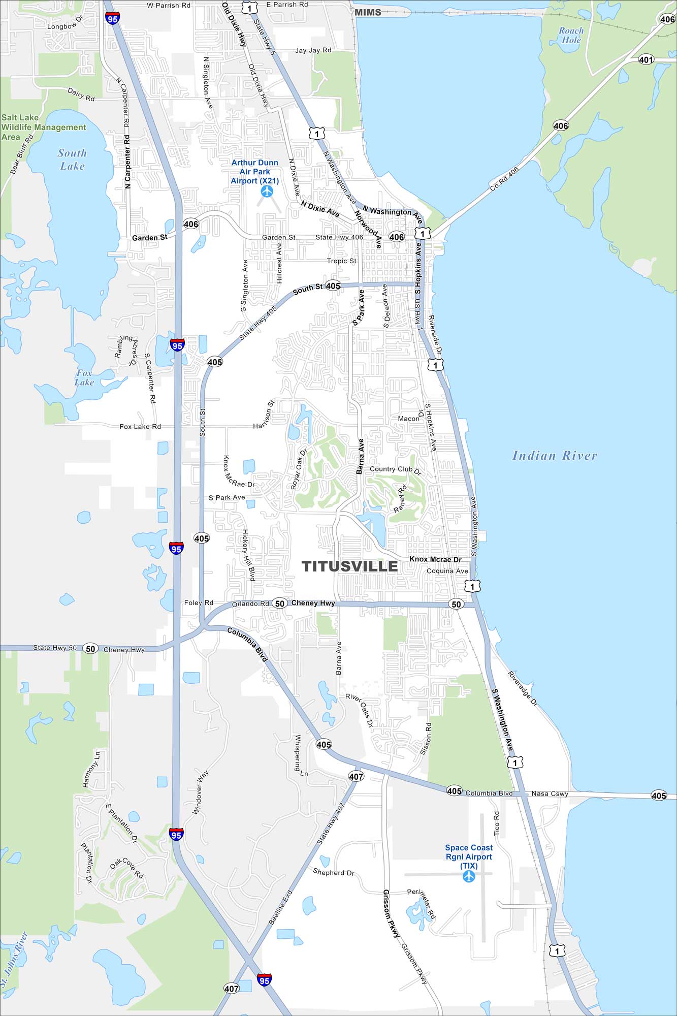
See how Titusville is connected along Florida’s Space Coast. Our map shows its riverfront, Kennedy Space Center ties, and nearby beaches.
Florida State Maps
Discover Florida through our state maps


Map Information
On the Map
Interstates/Highways: I-95, US Hwy 1, State Rte 406, State Rte 405, State Rte 50, State Rte 407, Cheney Hwy Major Roads: Garden St, Columbia Blvd, Washington Ave, Hopkins Ave, Barna Ave, Carpenter Rd, Singleton Ave, Grissom Pkwy, Knox McRae Dr, Harrison St, Park Ave, Deleon Ave, Riverside Dr, Sisson Ave, Tico Rd, Dairy Rd, Jay Jay Rd, Parrish Rd, Foley Rd Airports: Arthur Dunn Air Park Airport (X21), Space Coast Rgnl Airport (TIX) Lakes and Reservoirs: South Lake, Fox Lake, Salt Lake, Roach Hole Major Rivers: Indian River Parks and Preserves: Salt Lake Wildlife Management Area Nearby Communities: MimsFlorida City Maps
Chart your course through Miami and Florida’s cities


