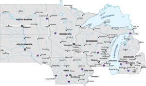
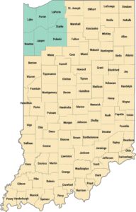
Quad Cities Map
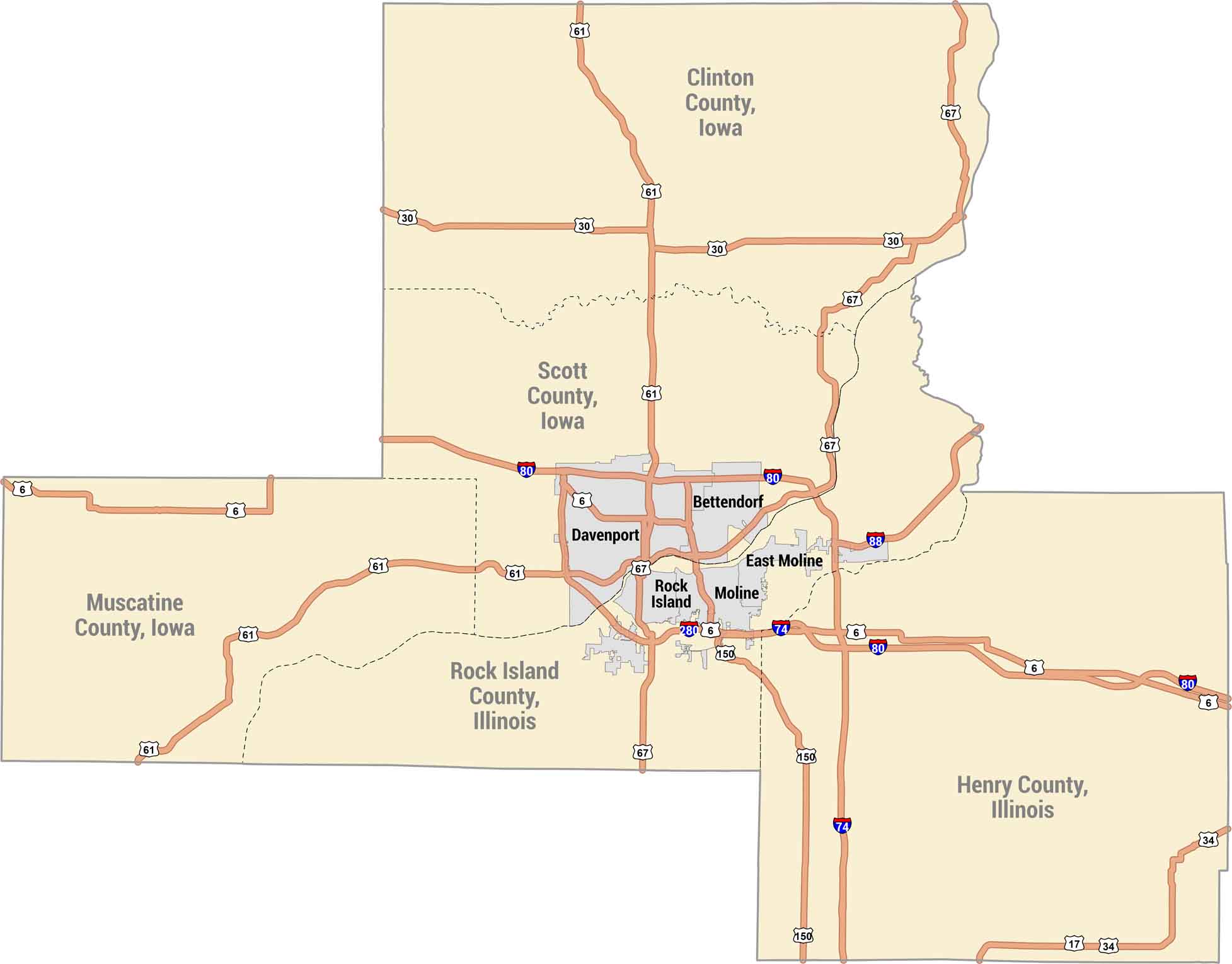
The Quad Cities sit along the Mississippi River along the Iowa-Illinois border. Our map shows Davenport and Bettendorf on one side. Whereas Rock Island, Moline and East Moline are on the other. It’s a riverfront region where two states feel like one community.
Map Information
On the Map
Cities/Towns: Bettendorf, Davenport, East Moline, Moline, Rock Island Counties: Clinton County Iowa, Henry County Illinois, Muscatine County Iowa, Rock Island County Illinois, Scott County Iowa Interstates/Highways: State Rte 17, US Hwy 30, US Hwy 34, US Hwy 61, US Hwy 67, I-74, I-80, I-88, US Hwy 150, I-280, US Hwy 6Metropolitan Regions
Developed areas, suburban zones, and metro regions.