Rust Belt Map
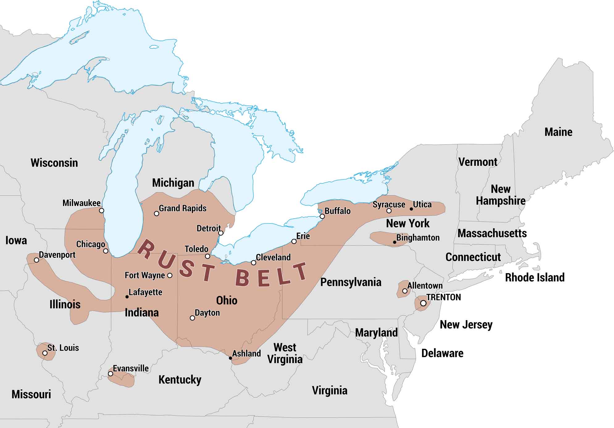
The Rust Belt was once an industrial heartland of the United States with steel, auto, and manufacturing. Our map highlights the states and major cities that make up this region. It’s a snapshot of where American industry rose, shifted, and still endures.
Map Information
On the Map
States in the Rust Belt: Illinois, Indiana, Kentucky, Maryland, Michigan, Missouri, New Jersey, New York, Ohio, Pennsylvania, West Virginia, Wisconsin Cities in the Rust Belt: Allentown, Ashland, Binghamton, Buffalo, Chicago, Cleveland, Davenport, Dayton, Detroit, Erie, Evansville, Fort Wayne, Grand Rapids, Lafayette, Milwaukee, St. Louis, Syracuse, Toledo, Trenton, UticaEconomic Region Maps
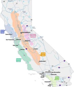
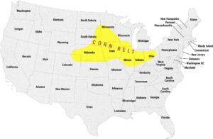
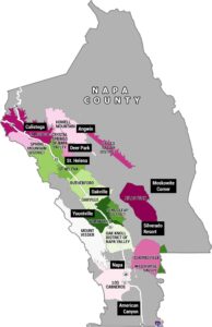
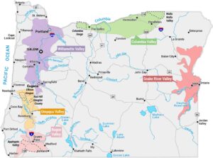
Regions defined by farming, industry, production, or economic identities.