Silicon Valley Map
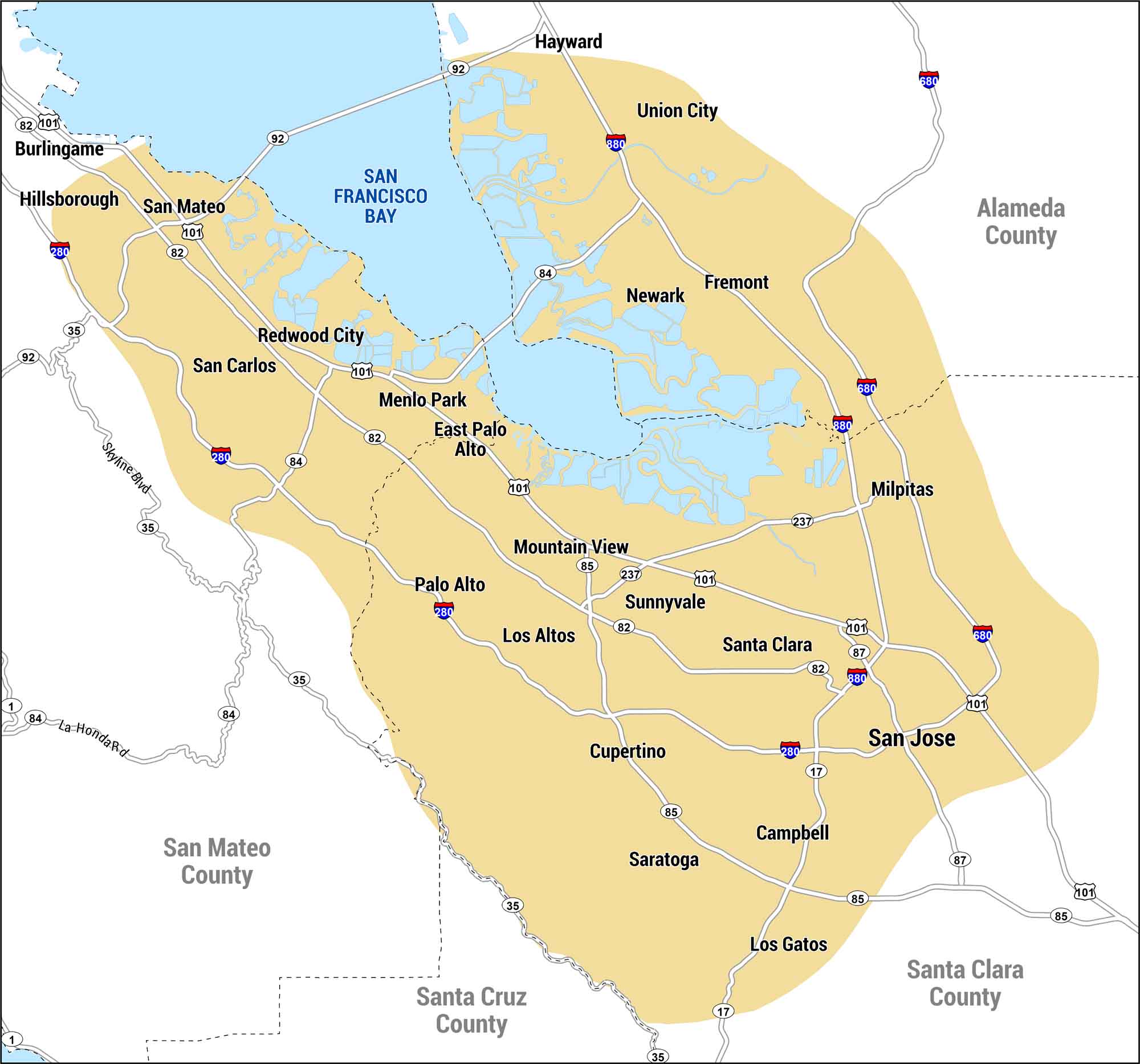
This map shows Silicon Valley along the southern end of San Francisco Bay. It includes San Jose, Mountain View, and other cities. We’ve also marked highways, major routes, and counties so you can get a clear view of the heart of the tech world.
Map Information
On the Map
Counties: Alameda County, San Mateo County, Santa Clara County, Santa Cruz County Cities/Towns: Burlingame, Campbell, Cupertino, East Palo Alto, Fremont, Hayward, Hillsborough, Los Altos, Los Gatos, Menlo Park, Milpitas, Mountain View, Newark, Palo Alto, Redwood City, San Carlos, San Jose, San Mateo, Santa Clara, Saratoga, Sunnyvale, Union City Interstates/Highways: I-280, I-680, I-880, US-101 State Routes: State Rte 1, State Rte 17, State Rte 35, State Rte 82, State Rte 84, State Rte 85, State Rte 87, State Rte 92, State Rte 237 Bays: San Francisco BayEconomic Region Maps
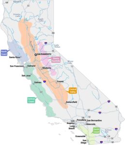
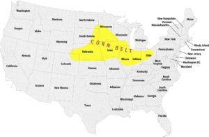
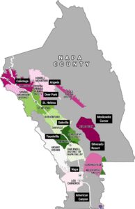
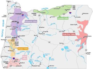
Regions defined by farming, industry, production, or economic identities.