Southwest US Map
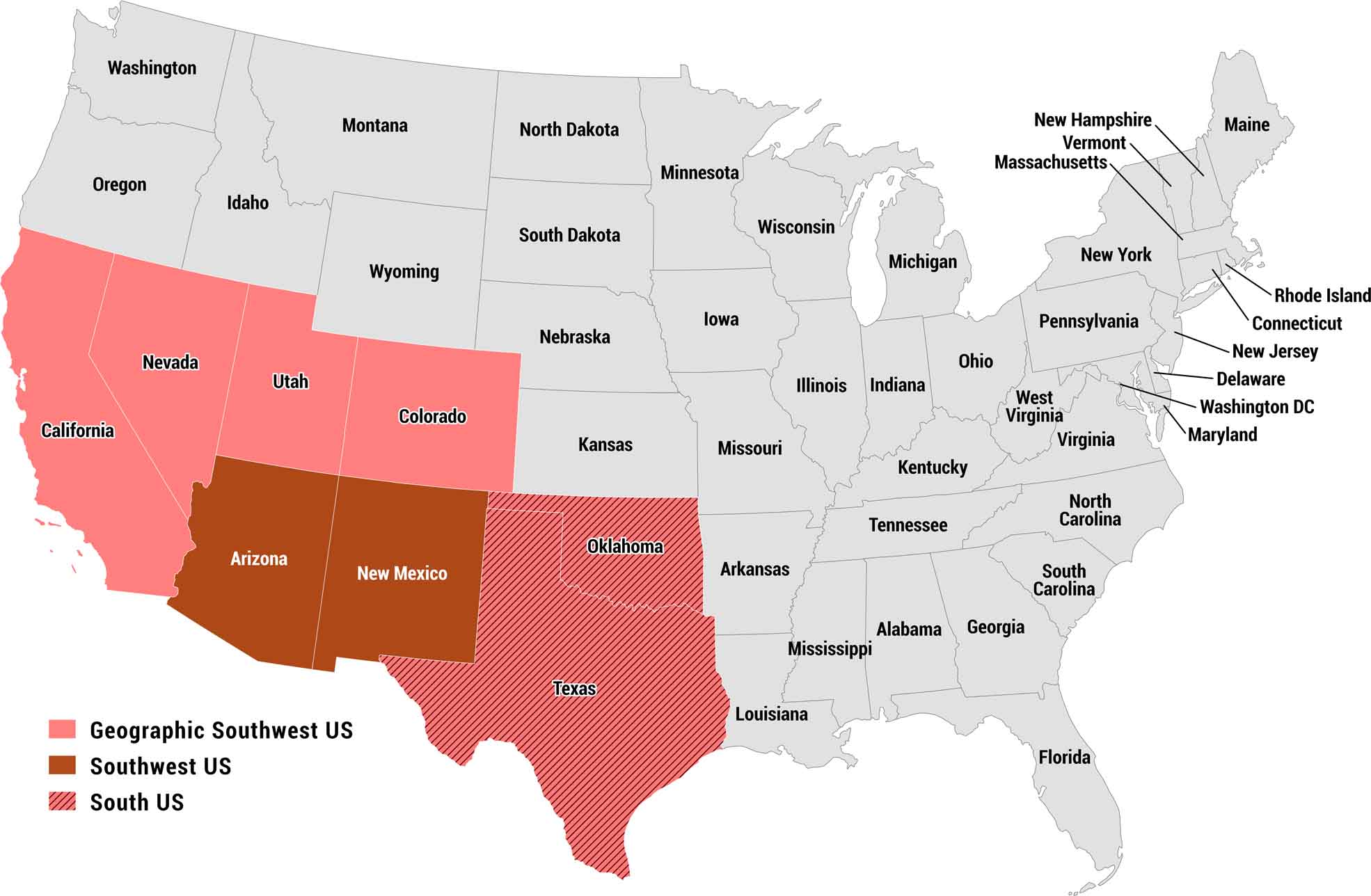
Our map of the US Southwest highlights how the region is often defined. Arizona and New Mexico, shown in dark red, form the core of the modern Southwest. The brighter red and striped states, from California to Texas, show where boundaries blur depending on who you ask.
Map Information
On the Map
Southwest US: Arizona, New Mexico Geographic Southwest US: California, Colorado, Nevada, Utah South US: Oklahoma, TexasMetropolitan Regions
Developed areas, suburban zones, and metro regions.