Upstate New York Map
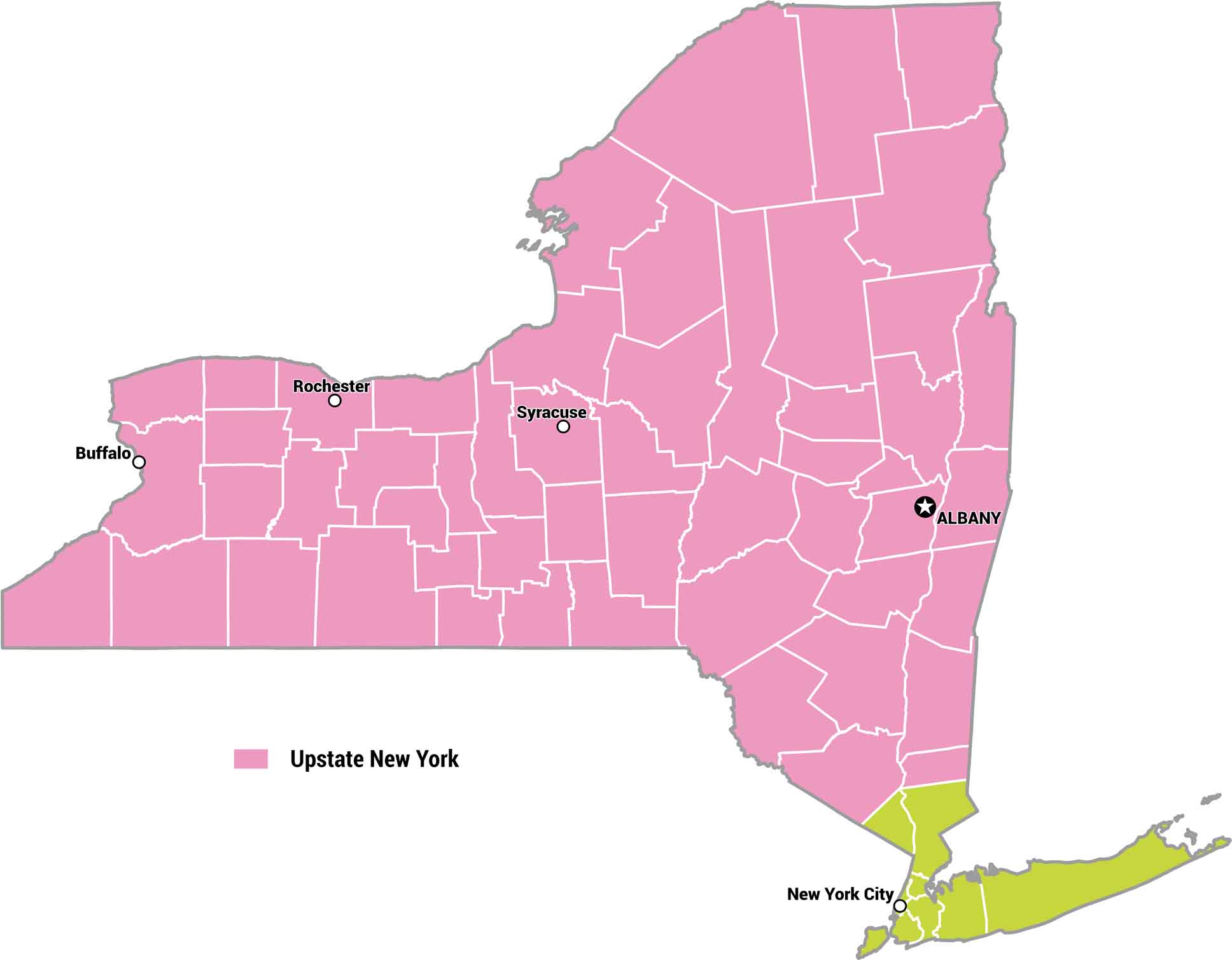
There’s no set boundary for Upstate New York. But most New Yorkers agree that it’s north of Westchester. Our map lays out the counties of Upstate New York, from the Adirondacks to the Finger Lakes.
Map Information
On the Map
Upstate New York (Pink Region)
Here are the cities and region name highlighted in the primary section of the map.- Cities: Albany, Buffalo, Rochester, Syracuse
- Region: Upstate New York
Other (Green Region)
These labels represent the major metropolitan area in the southern section of the map.- Cities: New York City
Metropolitan Regions
Developed areas, suburban zones, and metro regions.