Georgetown Map, Washington DC
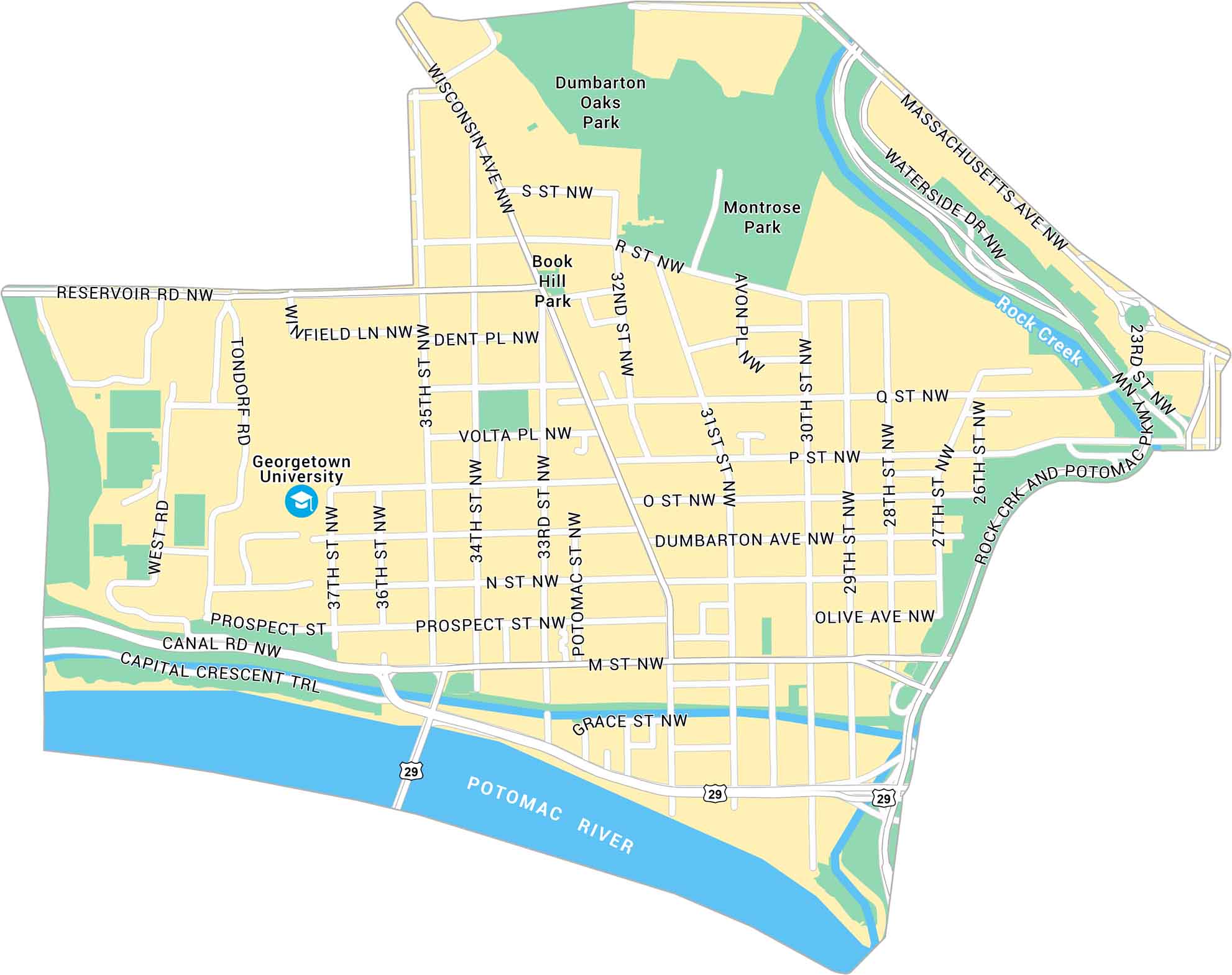
Our map of Georgetown shows the historic neighborhood along the Potomac on D.C.’s northwest edge. It’s a tight, scenic part of the city that still feels distinct.
Map Information
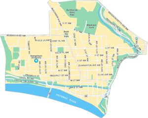
Washington DC Neighborhood Maps
See our neighborhood maps for a closer look of the city.
On the Map
Interstates/Highways: US Hwy 29 Major Roads: Wisconsin Ave, Massachusetts Ave, Reservoir Rd, Canal Rd, M St, P St, Q St, O St, S St, R St, Prospect St, Dumbarton Ave, Waterside Dr, Rock Crk and Potomac Pkwy, 37th St, 35th St, 34th St, 33rd St, 31st St, 30th St Major Rivers: Potomac River, Rock Creek Parks: Dumbarton Oaks Park, Montrose Park, Book Hill Park Landmarks: Georgetown UniversityDistrict of Columbia Maps
Select any District of Columbia map below to view its layout.