Riverside Downtown Map, Spokane
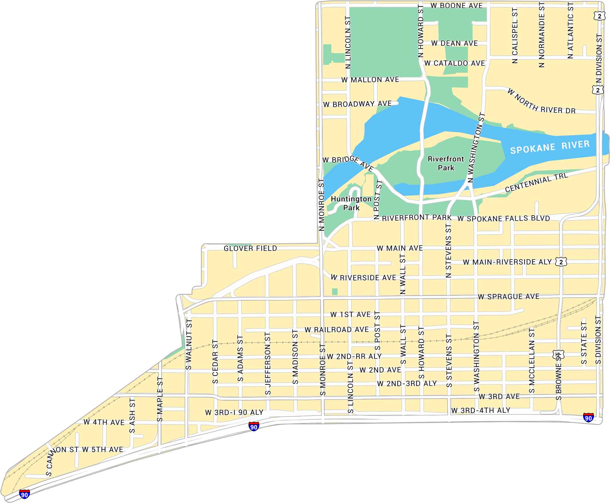
Downtown Spokane’s Riverside district sits along the Spokane River. Our map shows the river’s winding path, nearby streets, and the green spaces that tie it all together.
Map Information
On the Map
Interstates/Highways: I-90, US Hwy 2 Major Roads: Division St, Riverside Ave, Main Ave, Spokane Falls Blvd, Sprague Ave, 1st Ave, 2nd Ave, 3rd Ave, 4th Ave, Monroe St, Washington St, Stevens St, Howard St, Lincoln St, Wall St, Post St, Madison St, Jefferson St, Adams St, Cedar St Major Rivers: Spokane River Parks: Riverfront Park, Huntington ParkCity Maps of Washington
Check out our city maps of Washington


