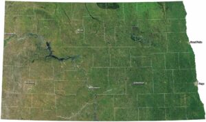
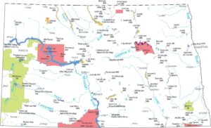
Home » State Maps » Map of North Dakota

Map of North Dakota

North Dakota Map

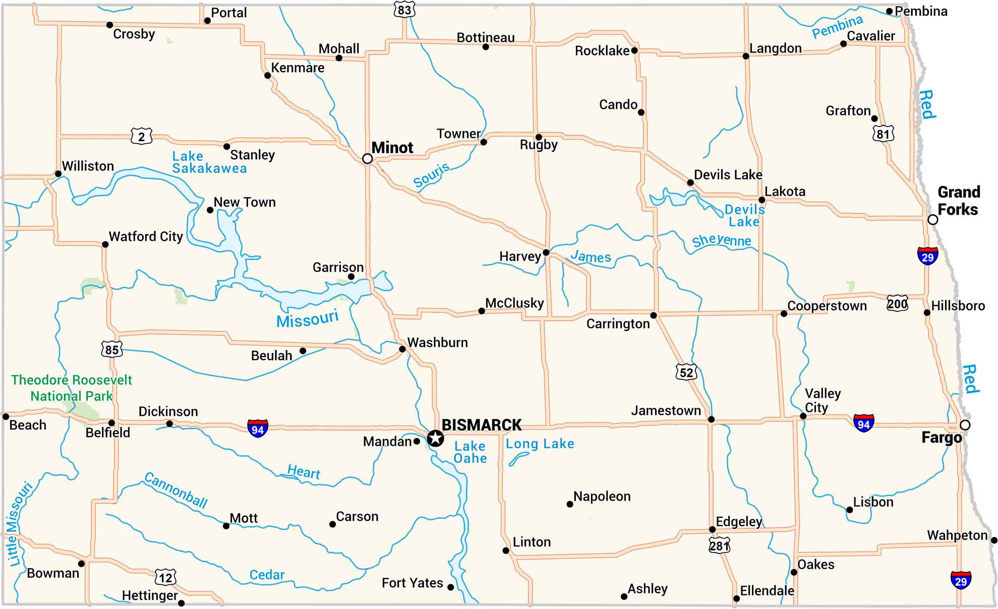
Our North Dakota map brings wide plains and winding rivers into focus. You’ll see highways connecting toward small towns and open skies. It’s a place that feels endless, yet every road has a story.
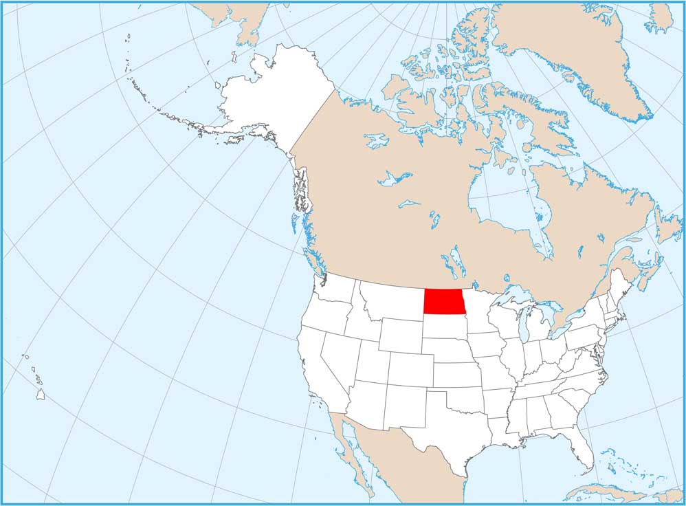
Map Information

  • State of North Dakota
  • Road Map of North Dakota
  • Free for personal and commercial purpose. Attribution is required. How to attribute?

On the Map

North Dakota Location Map
State Capital: Bismarck Major Cities: Fargo, Grand Forks, Minot Cities and Towns: Ashley, Beach, Belfield, Beulah, Bottineau, Bowman, Cando, Carrington, Carson, Cavalier, Cooperstown, Crosby, Devils Lake, Dickinson, Edgeley, Ellendale, Fort Yates, Garrison, Grafton, Harvey, Hettinger, Hillsboro, Jamestown, Kenmare, Lakota, Langdon, Linton, Lisbon, Mandan, McClusky, Mohall, Mott, Napoleon, New Town, Oakes, Pembina, Portal, Rocklake, Rugby, Stanley, Towner, Valley City, Wahpeton, Washburn, Watford City, Williston Interstate Highways: I-29, I-94 US Routes: US-2, US-12, US-52, US-81, US-83, US-85, US-200, US-281 Lakes and Reservoirs: Devils Lake, Lake Oahe, Lake Sakakawea, Long Lake Rivers and Streams: Cannonball River, Cedar River, Heart River, James River, Little Missouri River, Missouri River, Pembina River, Red River, Sheyenne River, Souris River National Parks and Forests: Theodore Roosevelt National Park

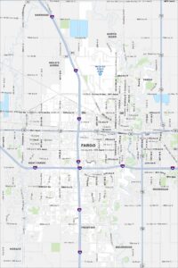
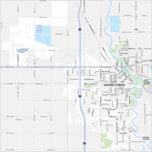
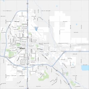
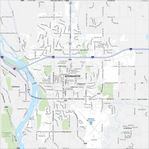
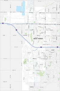
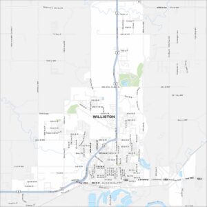
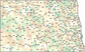
City Maps of North Dakota

North Dakota city maps made simple

References

  1. Government Website of North Dakota
  2. North Dakota in Google Maps

Leave a Reply

Your email address will not be published. Required fields are marked *