Map of Venice, Florida
Not to be confused with Venice, Italy. Our map of Venice shows you around this Gulf Coast city. Famous for shark tooth hunting, it also has scenic beaches.
Florida State Maps
Discover Florida through our state maps


Map Information
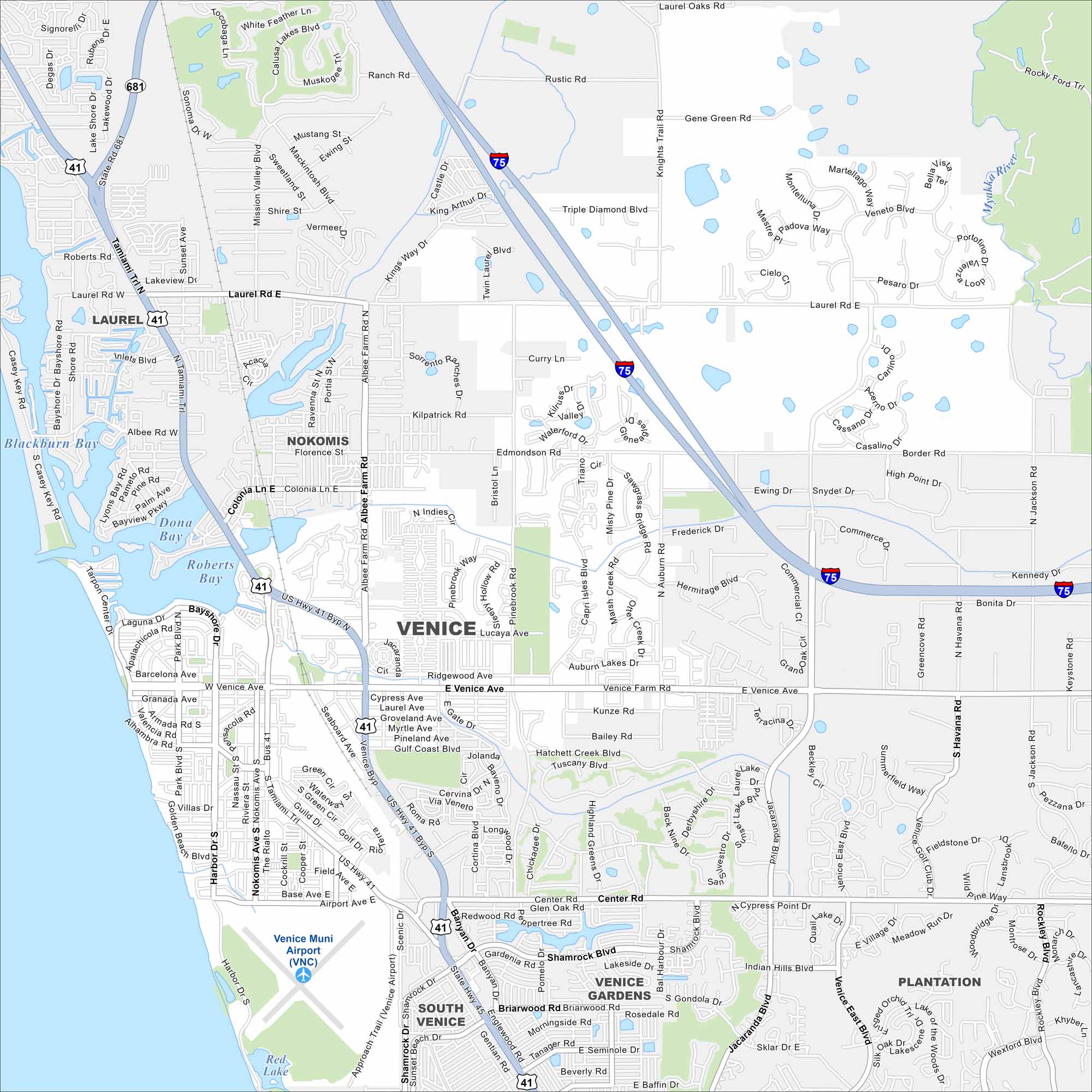
On the Map
Interstates/Highways: I-75, US Hwy 41, US Hwy 41 Byp, State Rte 681 Major Roads: Venice Ave, Laurel Rd, Jacaranda Blvd, Tamiami Trl, Center Rd, Shamrock Blvd, Border Rd, Albee Farm Rd, Pinebrook Rd, Auburn Rd, Knights Trail Rd, Edmondson Rd, Capri Isles Blvd, River Rd, Bayshore Rd, Tarpon Center Dr, Harbor Dr, Seaboard Ave, Airport Ave, Banyan Dr Airports: Venice Muni Airport (VNC) Lakes and Reservoirs: Atlantic Ocean, Blackburn Bay, Dona Bay, Roberts Bay, Red Lake Major Rivers: Myakka River Nearby Communities: Laurel, Nokomis, Plantation, South Venice, Venice GardensFlorida City Maps
Chart your course through Miami and Florida’s cities


