Satellite Map of Kentucky
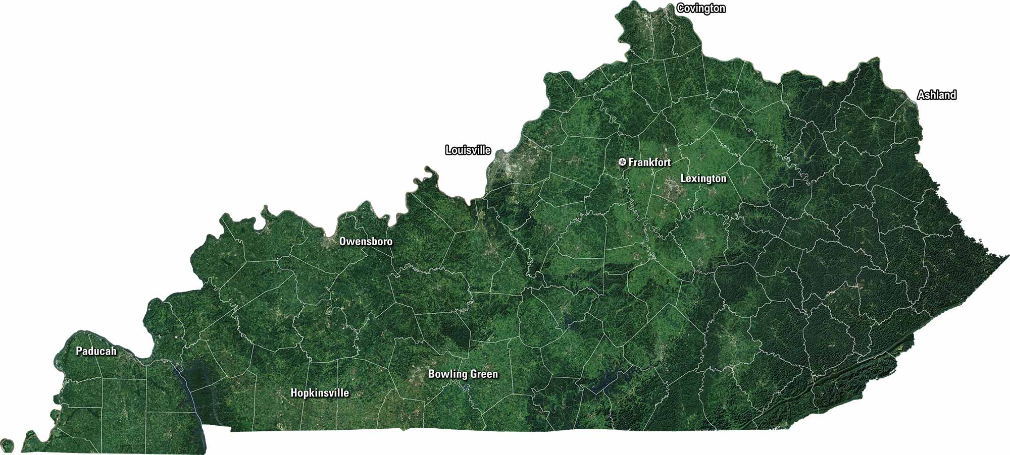
Our satellite map of Kentucky displays its rolling hills, green valleys, and long stretches of forest. Coal country lies to the east, while horse farms spread wide in the Bluegrass region. Louisville and Lexington stand out among the winding rivers and farmland.
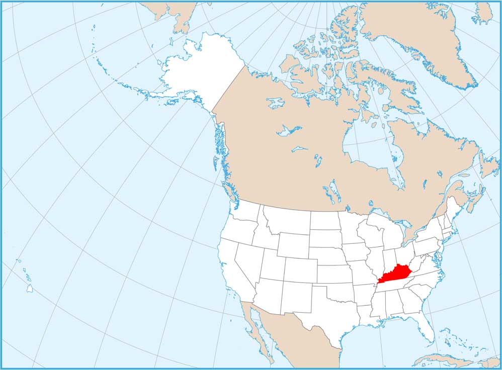
Map Information
On the Map
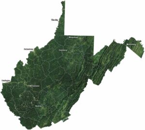
Neighboring State Maps
Find satellite map of neighboring states