Satellite Map of New Hampshire
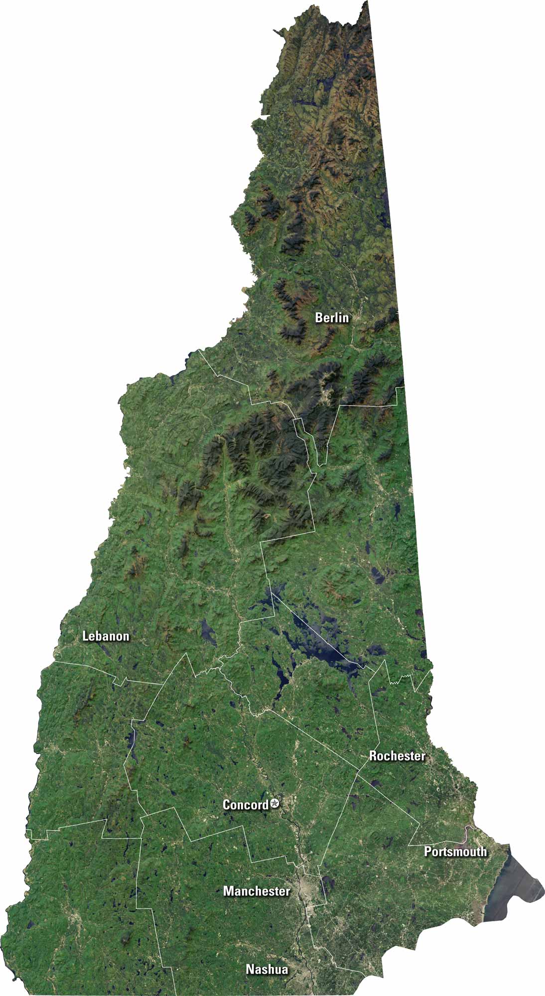
Get to know New Hampshire from above. Our satellite map shows its forests, lakes and rivers. You’ll see major cities like Concord, Manchester, and Nashua. The Connecticut River cuts along the western edge. It’s a state rich in natural beauty.
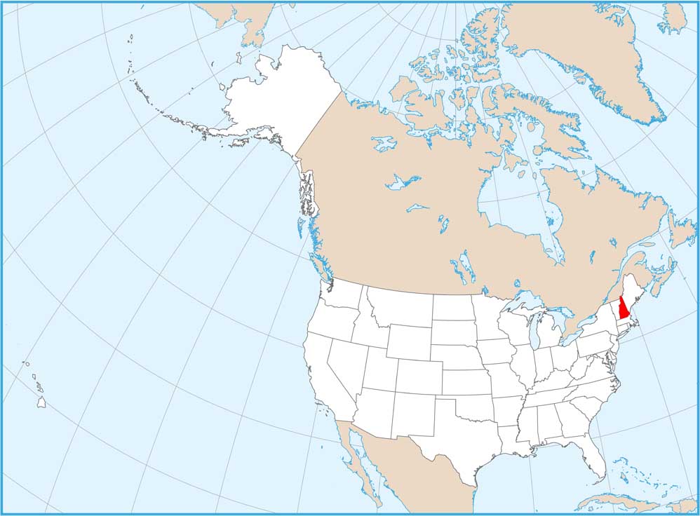
Map Information
On the Map
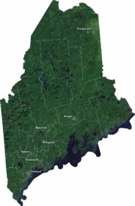
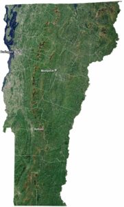
Neighboring State Maps
Find satellite map of neighboring states