Satellite Map of Ohio
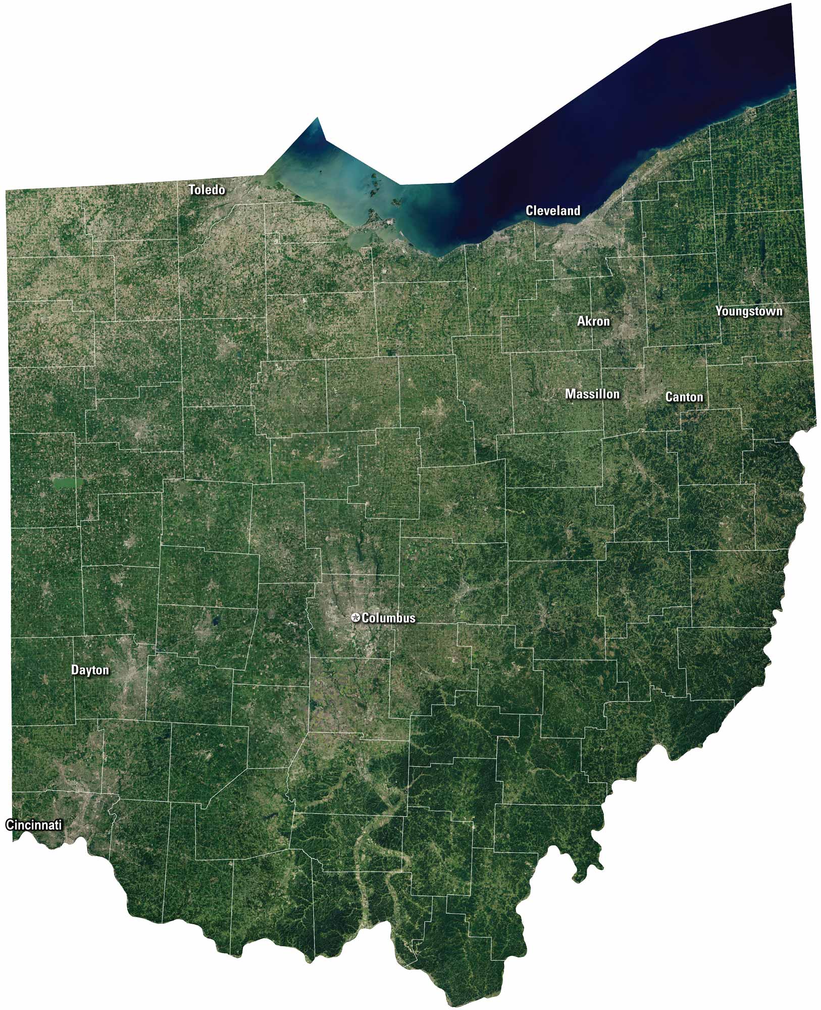
Our satellite map highlights the mix of city, water, and countryside. Ohio feels both busy and grounded, because its landscapes tie together so many ways of life. Cleveland sits on Lake Erie, while Cincinnati hugs the Ohio River. Small towns are everywhere here within the farmland and in between.
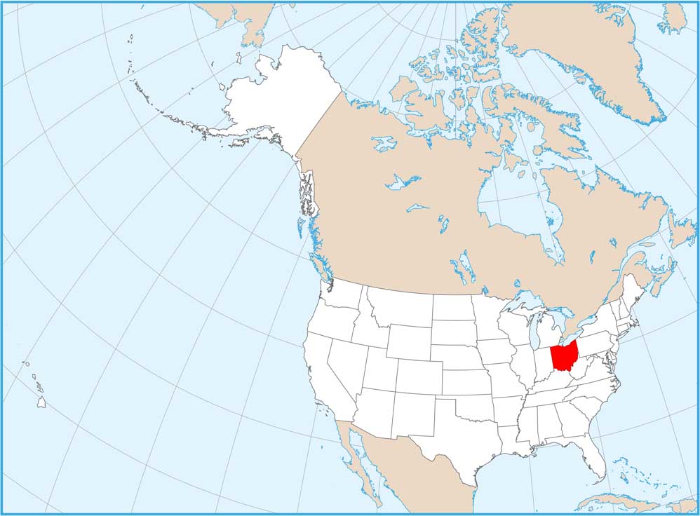
Map Information
On the Map
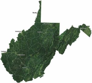
Neighboring State Maps
Find satellite map of neighboring states