Satellite Map of Oregon
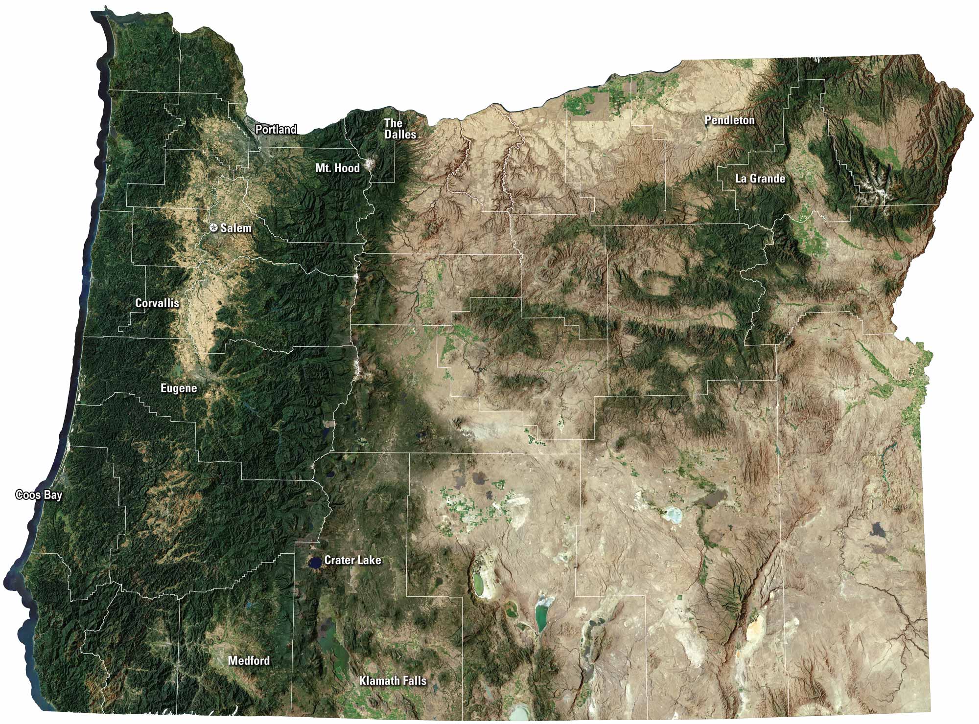
Oregon shifts from ocean cliffs to deep forests and high desert. Portland buzzes with life, but Eugene shows a different side of the state. Rivers cut through valleys, and mountains frame the horizon. Our satellite map captures it all, from the coast to the Cascades.
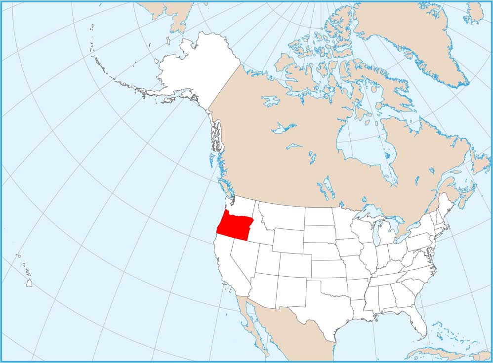
Map Information
On the Map
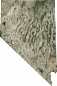
Neighboring State Maps
Find satellite map of neighboring states