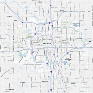
Map of Wichita, Kansas

Take a look at our map of Wichita, the largest city in Kansas. Known as the “Air Capital of the World”, it has a strong aviation history. It’s also very well-connected with several interstate highways.
Kansas State Maps
Explore every corner of Kansas with our state maps


Map Information
On the Map
Interstates/Highways: I-135, I-235, US Hwy 54, US Hwy 400, State Hwy 96, State Hwy 254, State Hwy 15, State Hwy 42 Major Roads: Kellogg Ave, Broadway Ave, Main St, Central Ave, Douglas Ave, 21st St, 13th St, 47th St, Pawnee St, Harry St, MacArthur Rd, Meridian Ave, West St, Seneca St, Hydraulic Ave, Hillside St, Oliver St, Woodlawn Blvd, Rock Rd, Webb Rd Airports: Wichita Dwight D Eisenhower National Airport (ICT), McConnell AFB Airport (IAB), Colonel James Jabara Airport (AAO) Lakes and Reservoirs: Wilson Lake, Horseshoe Lake, Beech Lake Major Rivers: Arkansas River, Little Arkansas River Parks and Preserves: Sedgwick County Park Nearby Communities: Maize, Valley Center, Park City, Kechi, Bel Aire, Eastborough, Derby, Haysville, ClearwaterCity Maps of Kansas
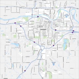
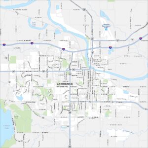
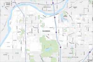
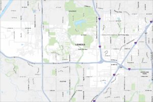
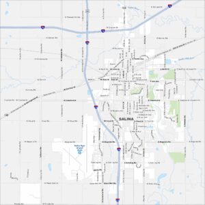
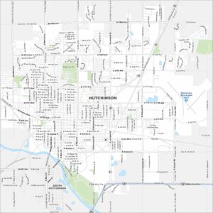
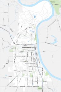
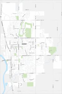
See our maps of Wichita and other urban centers