Map of Wheeling, Illinois
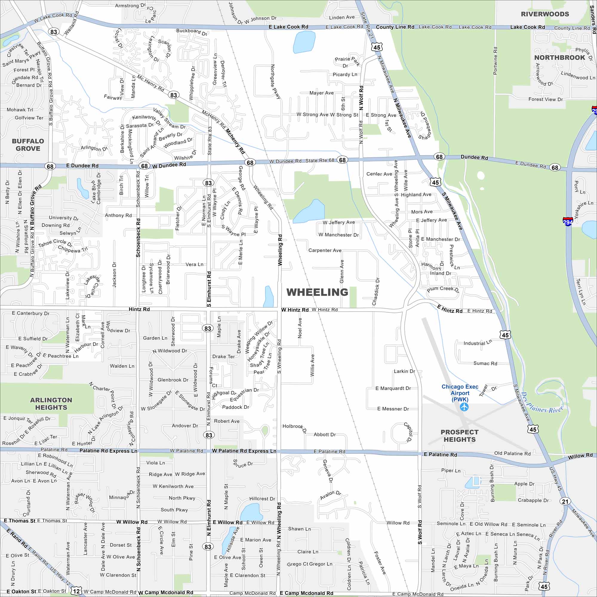
Here’s a map of Wheeling, a diverse suburb in Chicago’s North Shore area. The Des Plaines River runs through the community.
Illinois State Maps
Get to know Illinois with our state maps


Map Information
On the Map
Interstates/Highways: I-294, US Hwy 45, State Rte 21, State Rte 68, State Rte 83, State Rte 12 Major Roads: Dundee Rd, Milwaukee Ave, Palatine Rd, Hintz Rd, Wolf Rd, Wheeling Rd, McHenry Rd, Lake Cook Rd, Buffalo Grove Rd, Elmhurst Rd, Willow Rd, Strong St, Jeffery Ave, Manchester Dr, Carpenter Ave, Marquardt Dr, Messner Dr, Sumac Rd, Piper Ln, Apple Dr Airports: Chicago Exec Airport (PWK) Major Rivers: Des Plaines River Nearby Communities: Riverwoods, Northbrook, Prospect Heights, Arlington Heights, Buffalo GroveIllinois City Maps
Explore Chicago and urban regions of Illinois


