Map of Waukegan, Illinois
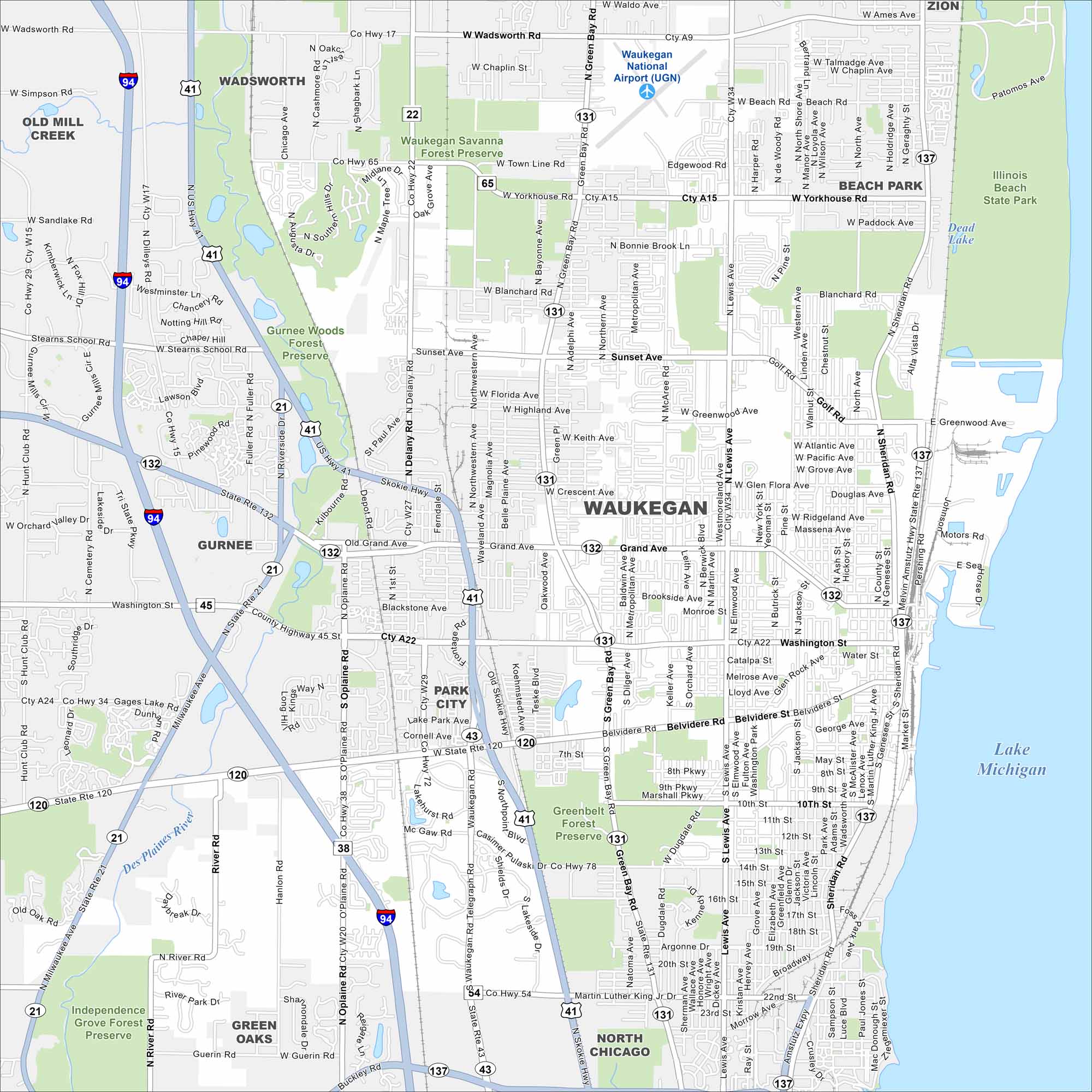
Here’s a simple map of Waukegan located along Lake Michigan. It’s a historic city with a working port and lakefront parks. It’s not too far from Chicago either, great for commuting to the Windy City.
Illinois State Maps
Get to know Illinois with our state maps


Map Information
On the Map
Interstates/Highways: I-94, US Hwy 41, US Hwy 45, State Rte 131, State Rte 132, State Rte 137, State Rte 120, State Rte 21, State Rte 43 Major Roads: Grand Ave, Belvidere Rd, Washington St, Green Bay Rd, Lewis Ave, Sheridan Rd, Genesee St, Buckly Rd, Wadsworth Rd, Town Line Rd, Yorkhouse Rd, Blanchard Rd, Sunset Ave, Greenwood Ave, Golf Rd, Atlantic Ave, Pacific Ave, Grove Ave, Glen Flora Ave, Water St Airports: Waukegan National Airport (UGN) Lakes and Reservoirs: Lake Michigan, Dead Lake Major Rivers: Des Plaines River Parks and Preserves: Waukegan Savanna Forest Preserve, Gurnee Woods Forest Preserve, Greenbelt Forest Preserve, Illinois Beach State Park, Independence Grove Forest Preserve Nearby Communities: Wadsworth, Zion, Beach Park, North Chicago, Green Oaks, Park City, Gurnee, Old Mill CreekIllinois City Maps
Explore Chicago and urban regions of Illinois


