Map of University City, Missouri
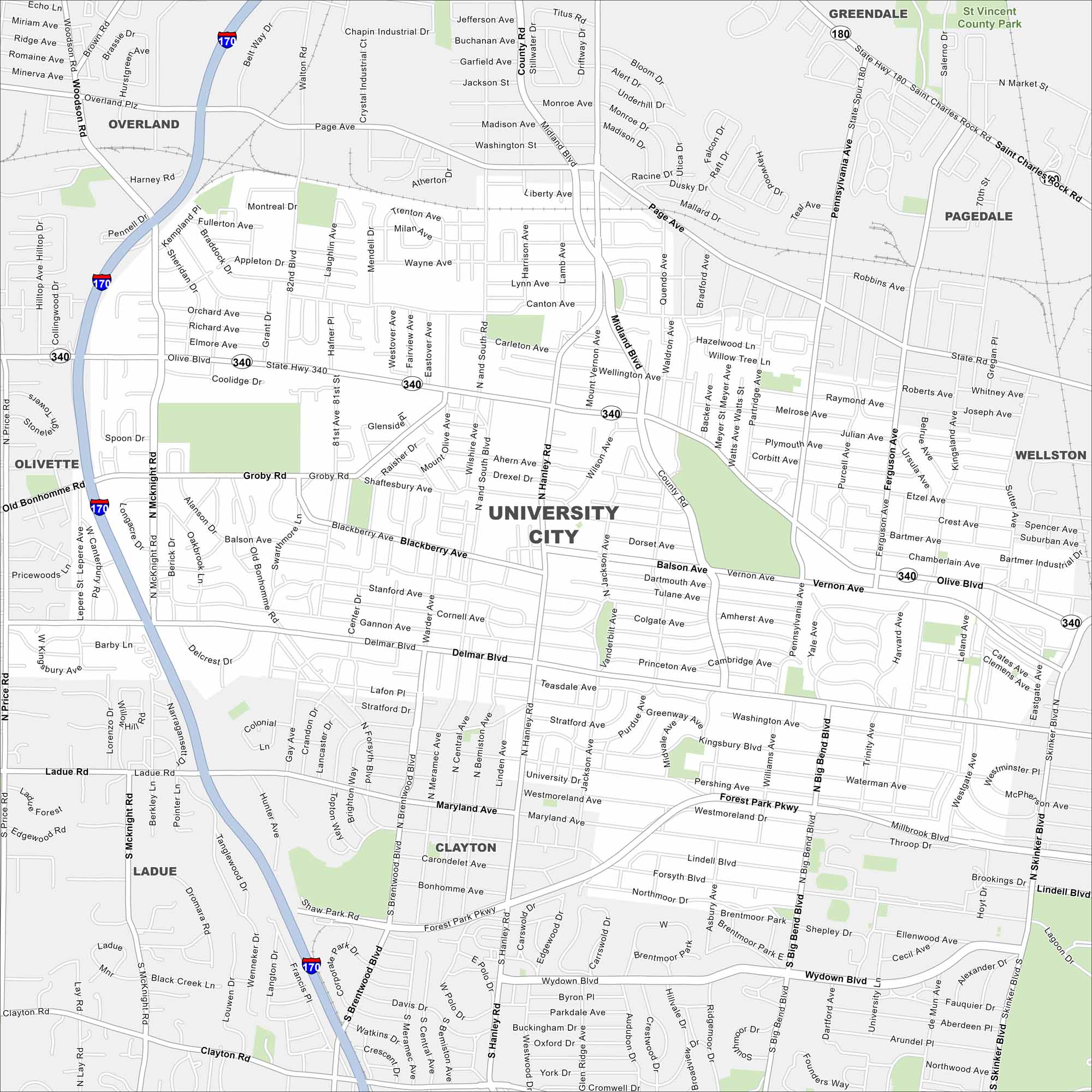
Use our map to help you get around University City near St. Louis. Known for the Delmar Loop, it’s a cultural and dining hotspot.
Map Information
On the Map
Interstates/Highways: I-170, State Hwy 340, State Hwy 180 Major Roads: Olive Blvd, Delmar Blvd, Midland Blvd, Page Ave, Hanley Rd, Big Bend Blvd, Skinker Blvd, Forest Park Pkwy, McKnight Rd, North and South Rd, Groby Rd, Canton Ave, Balson Ave, Shaftesbury Ave, Blackberry Ave, Gannon Ave, Maryland Ave, Ladue Rd, Wydown Blvd Parks and Preserves: St Vincent County Park Nearby Communities: Overland, Olivette, Ladue, Clayton, Wellston, Pagedale, GreendaleMissouri State Maps
Check out state maps of the Show-Me State.


Missouri City Maps
Here are our city maps for Missouri


