Home » Neighborhood Maps » Union Station Map, Denver

Union Station Map, Denver

Union Station Map Denver

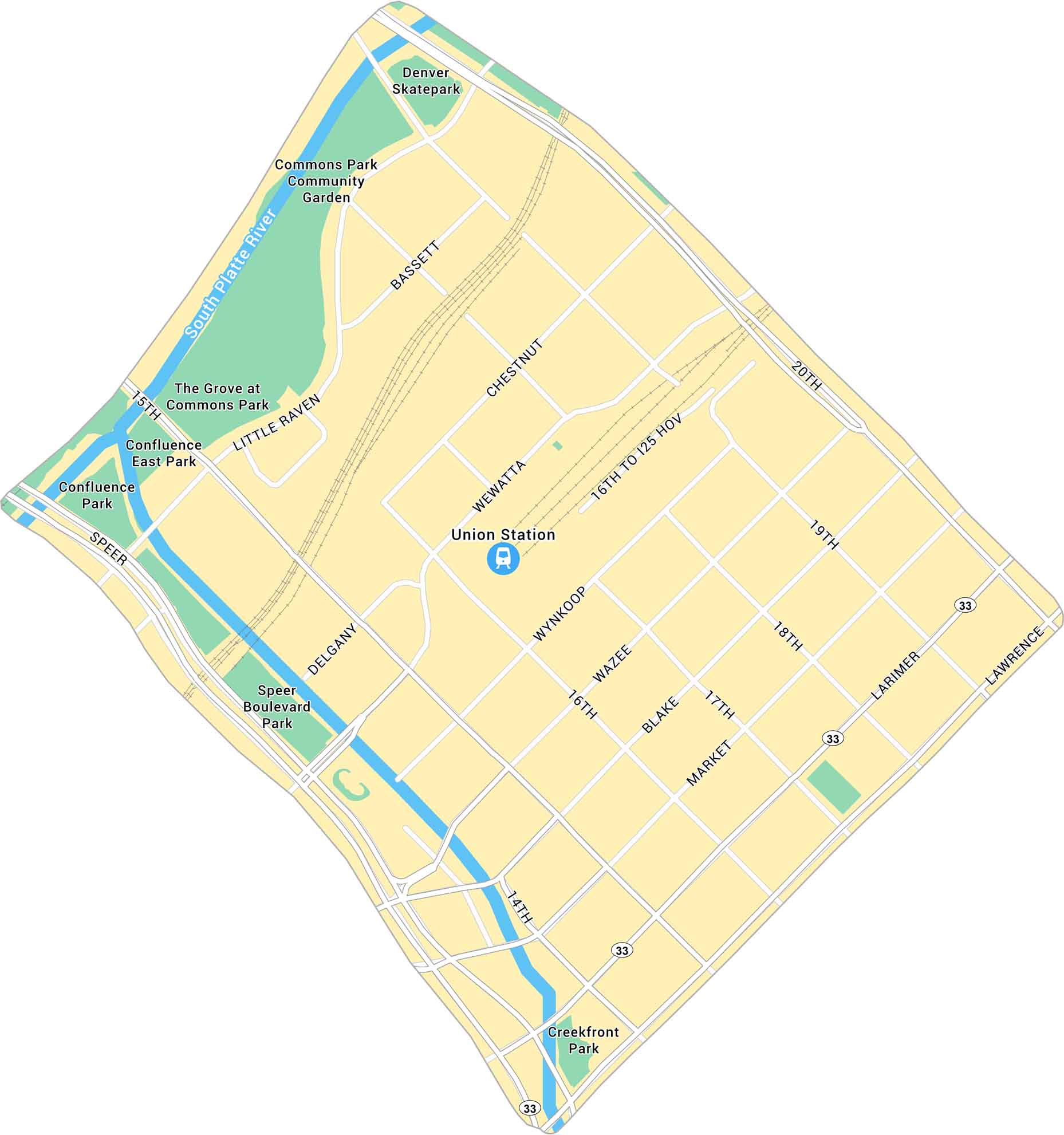
Union Station in Denver is the heart of the city’s transit and history. Our map highlights the station itself, surrounded by its road network. Trains, buses, and light rail all meet here. This makes it both a travel hub and a local hangout.

Map Information

  • Union Station, Denver
  • Neighborhood Map of Union Station in Denver
  • Free for personal and commercial purpose. Attribution is required. How to attribute?

Leave a Reply

Your email address will not be published. Required fields are marked *