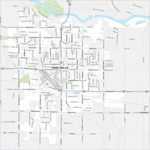
Map of Twin Falls, Idaho
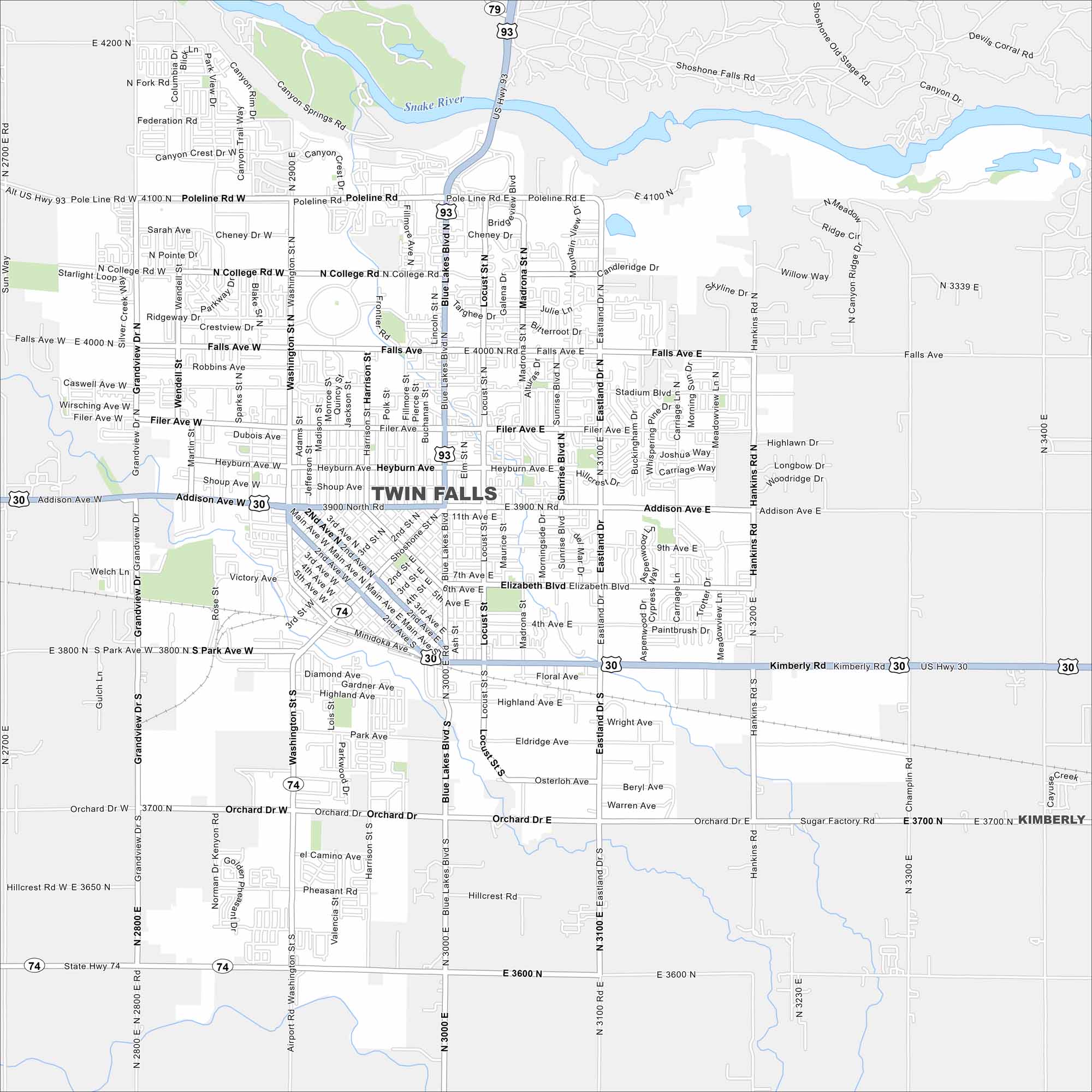
Need directions for Twin Falls, Idaho? Our map shows the famous Perrine Bridge (U.S. Highway 93 over the Snake River Canyon). It also includes all the major streams and streets.


Map Information
On the Map
Interstates/Highways: US Hwy 30, US Hwy 93, State Rte 74, State Rte 79 Major Roads: Blue Lakes Blvd, Addison Ave, Poleline Rd, Falls Ave, Filer Ave, Washington St, Main Ave, Kimberly Rd, Orchard Dr, Eastland Dr, Hankins Rd, Grandview Dr, College Rd, Cheney Dr, Heyburn Ave, Elizabeth Blvd, Highland Ave, Shoshone St, Harrison St, Locust St Major Rivers: Snake River Nearby Communities: KimberlyIdaho City Maps
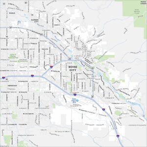
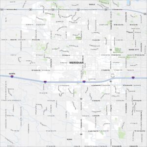
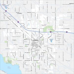
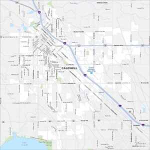
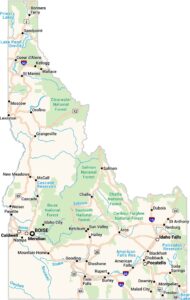
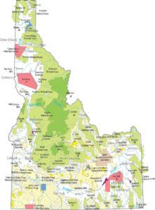
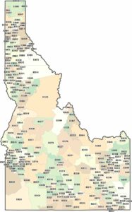
Boise and Idaho city maps right when you need them most