Map of Town and Country, Missouri
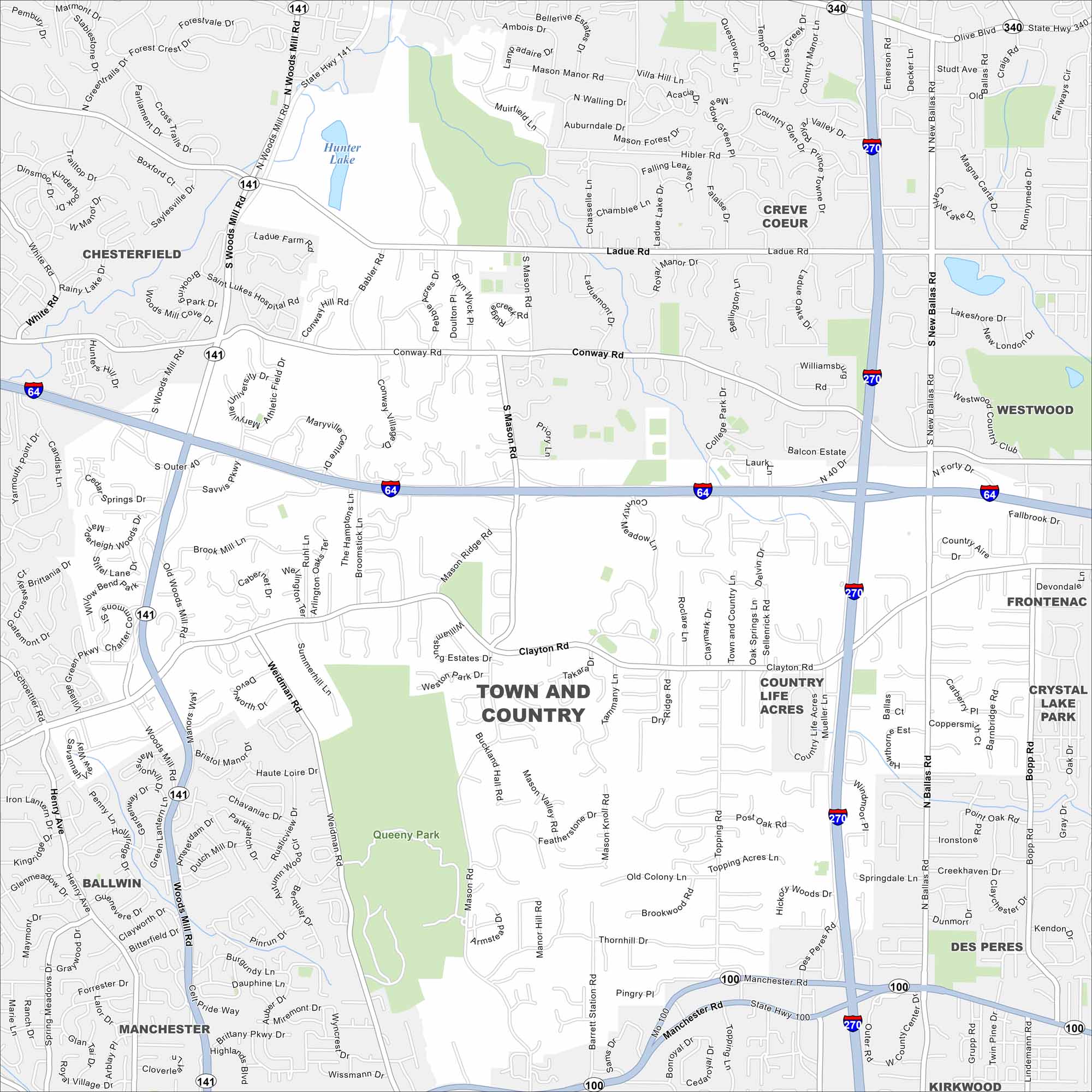
Our Town and Country map helps you explore this St. Louis suburb. Known for its green space and quiet neighborhoods, it has a rural feel. You can find it at the intersection of I-270 and I-64.
Map Information
On the Map
Interstates/Highways: I-64, I-270, US Hwy 40, State Hwy 141, State Hwy 100, State Hwy 340 Major Roads: Clayton Rd, Manchester Rd, Woods Mill Rd, Mason Rd, Ballas Rd, Conway Rd, Ladue Rd, Weidman Rd, Topping Rd, Bopp Rd, Barrett Station Rd, Olive Blvd Lakes and Reservoirs: Hunter Lake Parks and Preserves: Queeny Park Nearby Communities: Chesterfield, Ballwin, Manchester, Des Peres, Kirkwood, Frontenac, Crystal Lake Park, Westwood, Creve CoeurMissouri State Maps
Check out state maps of the Show-Me State.


Missouri City Maps
Here are our city maps for Missouri


