Map of Tinley Park, Illinois
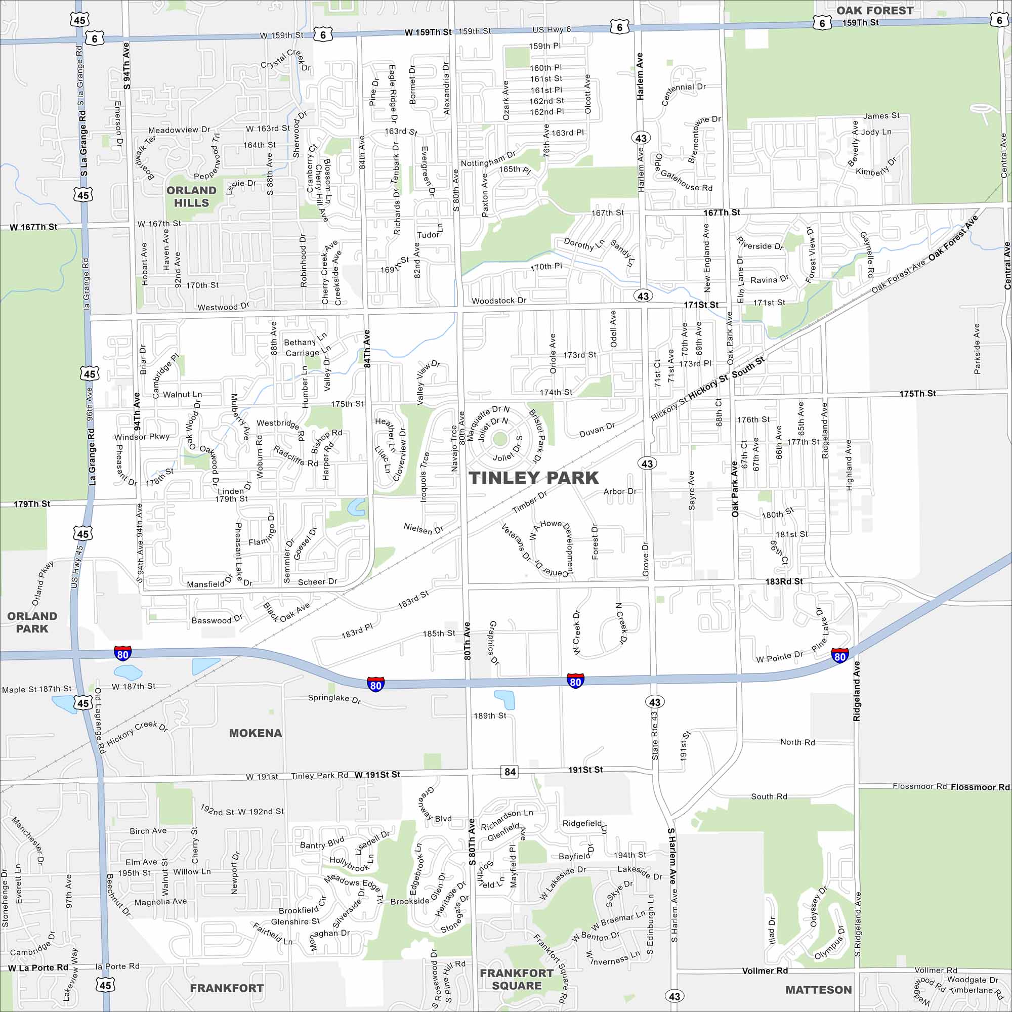
Our road map of Tinley Park highlights this Chicago suburb. Known for its outdoor music amphitheater, it’s filled with family neighborhoods and local parks.
Illinois State Maps
Get to know Illinois with our state maps


Map Information
On the Map
Interstates/Highways: I-80, US Hwy 6, US Hwy 45, State Rte 43, State Rte 50 Major Roads: 159th St, 167th St, 171st St, 175th St, 179th St, 183rd St, 191st St, Harlem Ave, La Grange Rd, 80th Ave, Oak Park Ave, Ridgeland Ave, Central Ave, 94th Ave, Prosperi Dr, Richards Dr, 76th Ave, 163rd St, 170th St, 187th St Nearby Communities: Oak Forest, Orland Hills, Orland Park, Mokena, Frankfort, Frankfort Square, MattesonIllinois City Maps
Explore Chicago and urban regions of Illinois


