Ted Stevens Airport Map
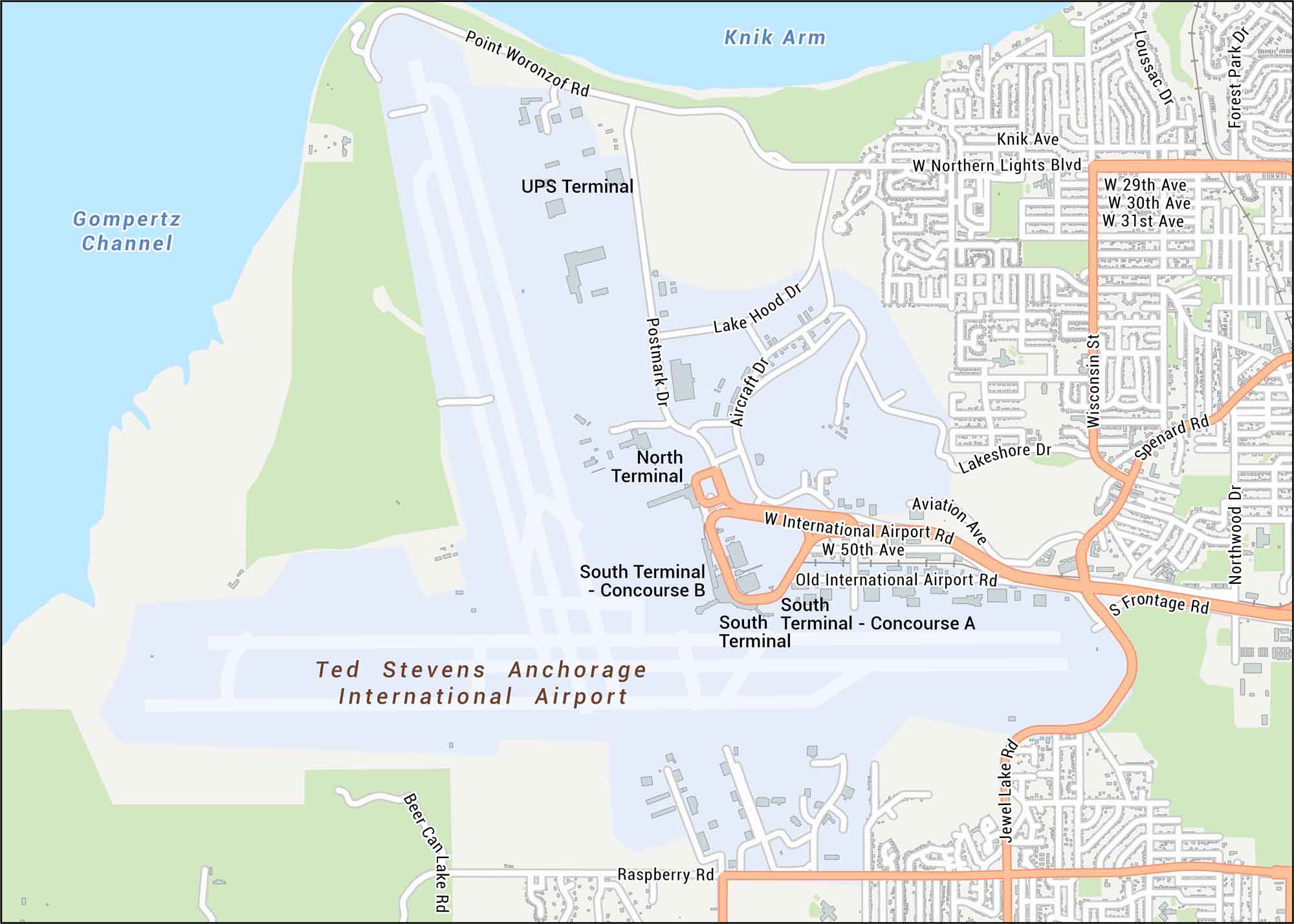
Ted Stevens Airport is the busiest in Alaska, especially for international flights. Our road map of Ted Stevens Anchorage International Airport shows the main terminal and runways.
Map Information
On the Map
Major Roads: International Airport Rd, Raspberry Rd, Northern Lights Blvd, Spenard Rd, Frontage Rd, Old International Airport Rd, 29th Ave, 30th Ave, 31st Ave, 50th Ave, Aircraft Dr, Aviation Ave, Beer Can Lake Rd, Jewel Lake Rd, Knik Ave, Lake Hood Dr, Lakeshore Dr, Loussac Dr, Northwood Dr, Point Woronzof Rd Water Bodies: Gompertz Channel, Knik Arm Other Landmarks: North Terminal, South Terminal, UPS TerminalTourist Maps in Alaska
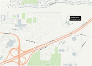
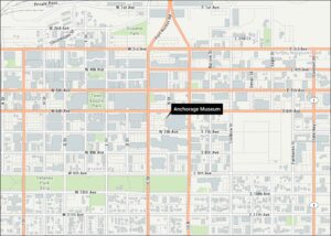
Discover all the prime locations with our tourist maps.