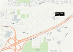
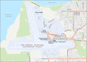
Anchorage Museum Map
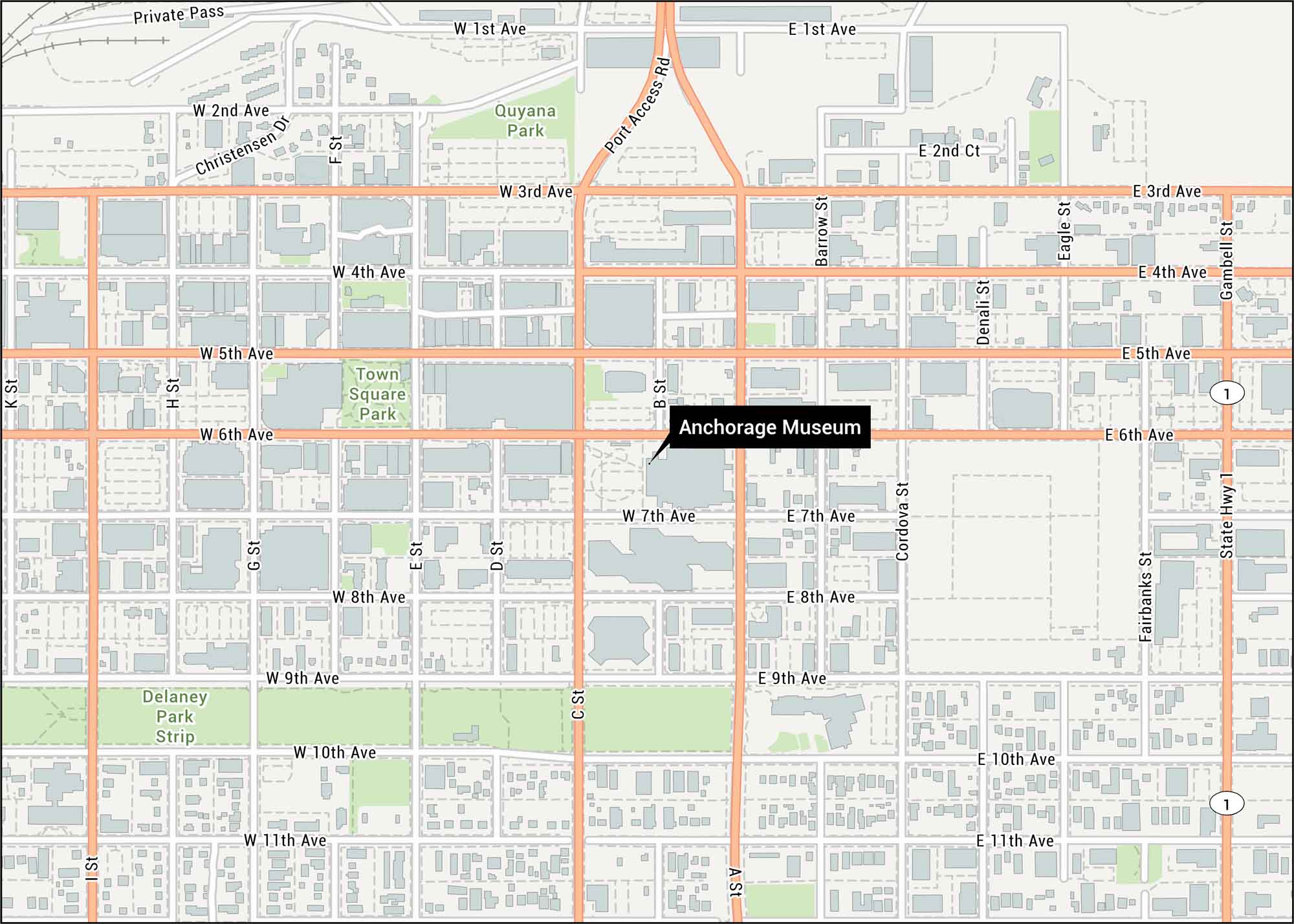
Our Anchorage Museum map shows its downtown location on C Street. This cultural hub sits in Alaska’s largest city beneath the Chugach Mountains.
Map Information
On the Map
Interstates/Highways: State Hwy 1 Major Roads: 1st Ave, 2nd Ave, 3rd Ave, 4th Ave, 5th Ave, 6th Ave, 7th Ave, 8th Ave, 9th Ave, 10th Ave, 11th Ave, Port Access Rd, Christensen Dr, Cordova St, Denali St, Eagle St, Fairbanks St, Gambell St, Barrow St, A St Parks/Forests: Delaney Park Strip, Quyana Park, Town Square ParkTourist Maps in Alaska
Discover all the prime locations with our tourist maps.