US Outline Map
Our US blank map shows state boundaries without any labels or colors. It’s a USA outline map with just the state lines inside.
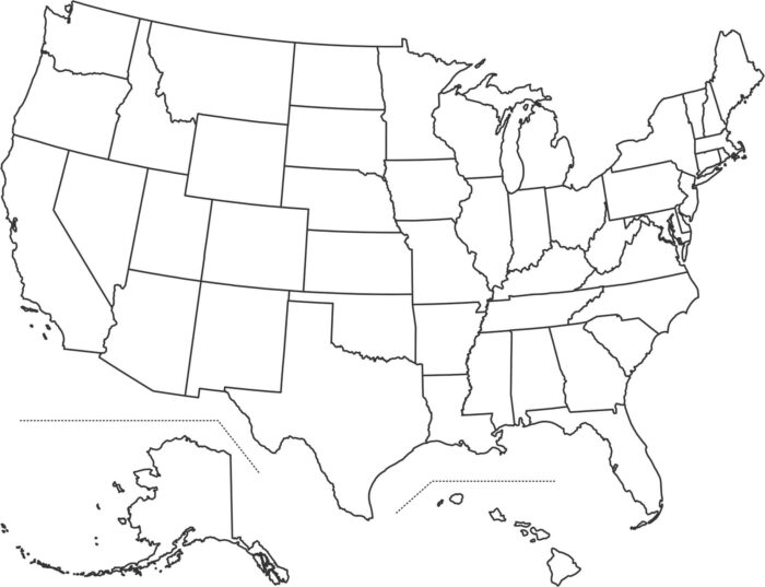
Our US blank map shows state boundaries without any labels or colors. It’s a USA outline map with just the state lines inside.
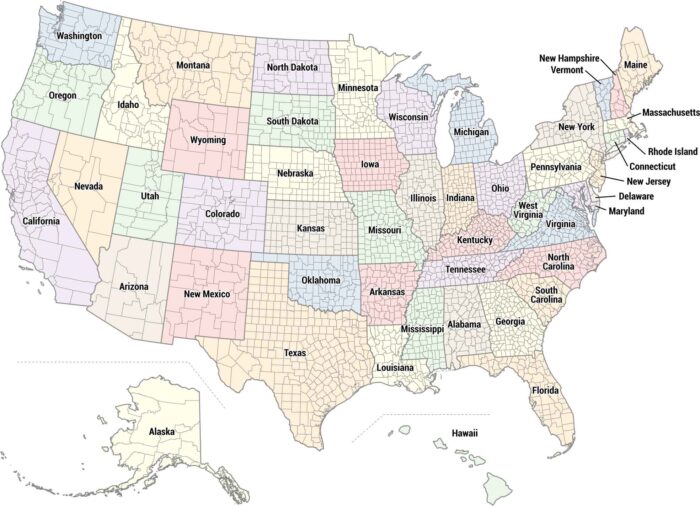
Our US county map shows all 3,000+ counties across the country. Each state is colored differently so you can easily tell them apart.
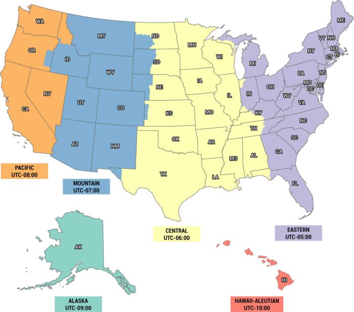
Time is different depending on where you are. Eastern, Central, Mountain, Pacific, Alaska and Hawaii time zones are on our US timezone map.
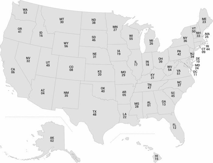
Our map of the USA labels each state with its FIPS code and abbreviation. Use it to uniquely identify each state with its official code.