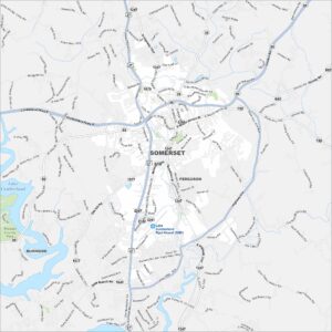
Map of Somerset, Kentucky

Find your bearings in Somerset, Kentucky with our map. The city is a gateway to Lake Cumberland and summer boating life.
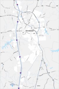
Kentucky State Maps
Our Kentucky maps reveal the Bluegrass State


Map Information
On the Map
Interstates/Highways: US Hwy 27, State Rte 39, State Rte 80, State Rte 192, State Rte 461, State Rte 692, State Rte 914, State Rte 1247 Major Roads: Cumberland Pkwy, S Main St, N Main St, Monticello St, Bourne Ave, University Dr, Oak Hill Rd, Slate Branch Rd, Westgate Dr, Clifty St, Highway 914, London Rd, Murphy Ave, Gover Ln, Boat Dock Rd, W Bourbon Rd, Shearwood Ave, Parkers Mill Rd, Kit Cowan Rd, Enterprise Dr Airports: Lake Cumberland Rgnl Airport (SME) Lakes and Reservoirs: Lake Cumberland Parks and Preserves: Pulaski County Park Nearby Communities: Ferguson, BurnsideCity Maps of Kentucky
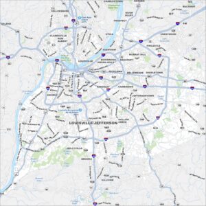
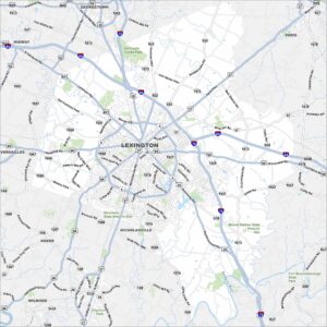
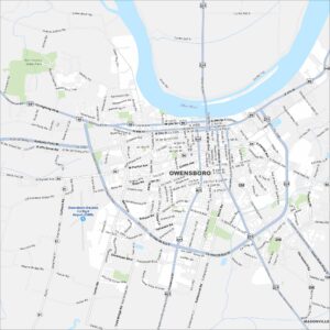
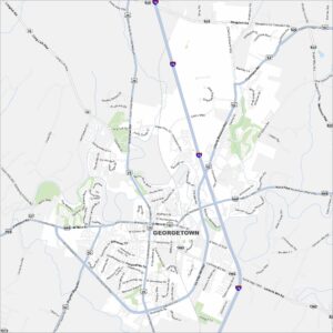
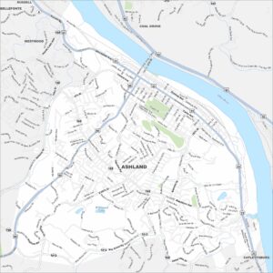
Here are Kentucky’s cities in full detail