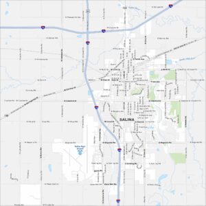
Map of Salina, Kansas
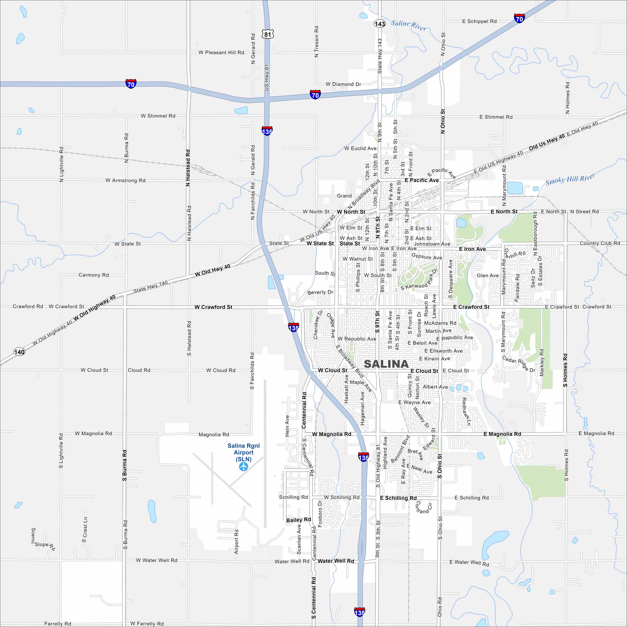
This street map of Salina makes it simple to explore. Downtown, local museums, and open roads all come together here. Our map helps you see the layout of the transportation network.
Kansas State Maps
Explore every corner of Kansas with our state maps


Map Information
On the Map
Interstates/Highways: I-135, I-70, US Hwy 81, Old US Hwy 40, State Rte 143, State Rte 140 Major Roads: Broadway Blvd, Ohio St, Santa Fe Ave, Ninth St, Cloud St, Magnolia Rd, Crawford St, Schilling Rd, Water Well Rd, Centennial Rd, Ohio St, Belmont Blvd, State St, Iron Ave, Pacific Ave, North St, Ash St, Elm St, Walnut St, Republic Ave Airports: Salina Rgnl Airport (SLN) Major Rivers: Saline River, Smoky Hill RiverCity Maps of Kansas
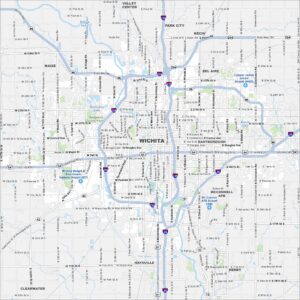
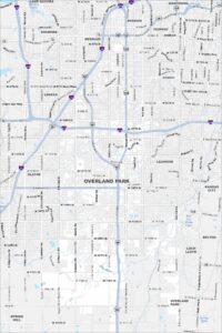
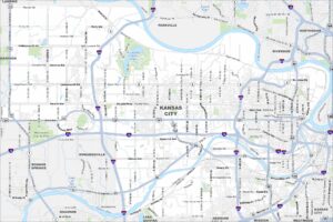
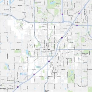
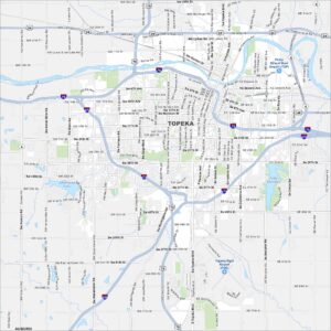
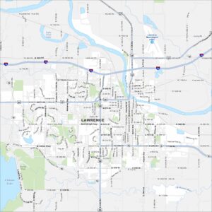
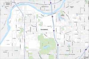
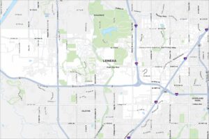
See our maps of Wichita and other urban centers